
COSTA RICA TRAVEL GUIDE
Costa Rica Beaches: Pacific & Caribbean Choices, Access and Water Conditions
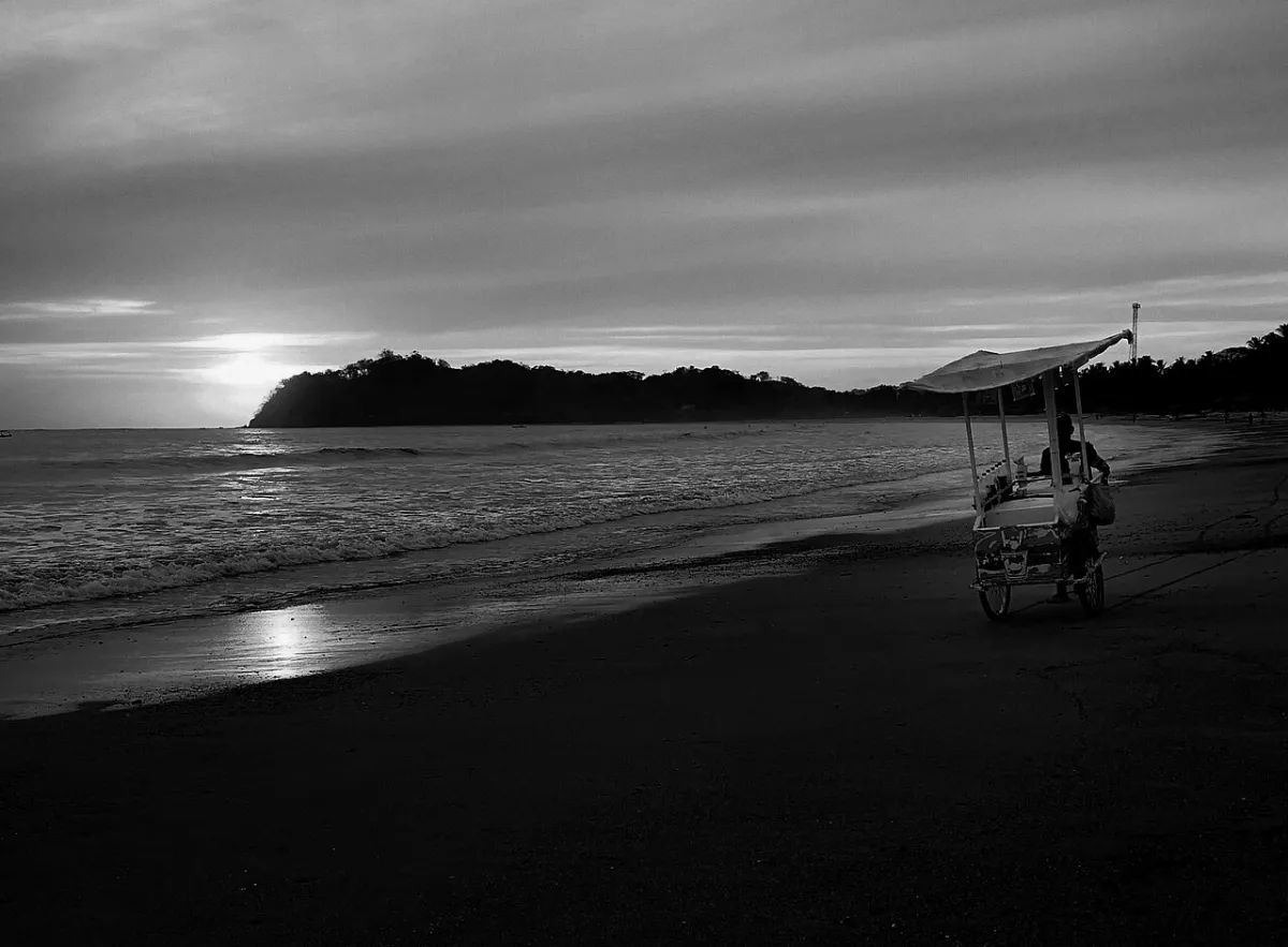

Choose a beach for the stay you want
Costa Rica's two coasts offer different landscapes and travel patterns. A beach can be excellent for surfing, walking or photography without being suitable for casual swimming. Compare the town, access route, facilities and conditions at the actual stretch of shoreline, rather than choosing only from an aerial photograph. Our Where to Stay guide compares the wider bases.
Water conditions change with swell, tide, river flow and weather. Rip currents are common and many beaches have no lifeguards. Follow local flags, closures and reliable advice each day; a sheltered appearance is not a safety guarantee. Keep children closely supervised and choose a non-swimming plan whenever conditions or advice are uncertain.
Playa Conchal: a scenic Guanacaste shore
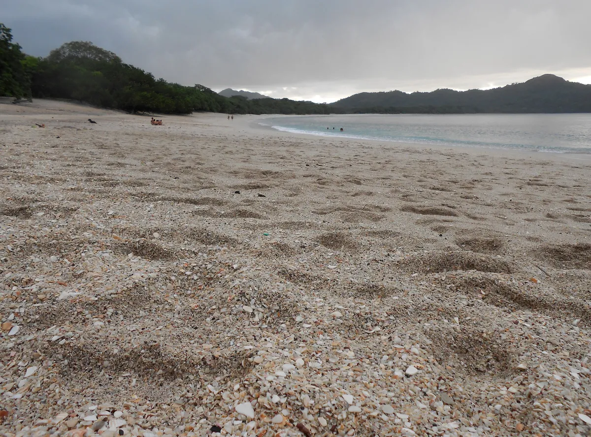

Conchal suits travelers looking for a visually distinctive northwestern beach stop rather than a surf-town identity. The shell-rich shore is part of its character, and may feel different underfoot from a fine-sand beach. Check the public approach, parking arrangements and the walk from your actual drop-off; a nearby resort's amenities are not automatically public beach facilities.
Plan for shade, drinking water and what you will carry back. A bright-water photograph does not establish visibility for snorkeling or gentle conditions on the day. If the shoreline is rough or exposed, keep the visit to a coastal walk and scenery rather than trying to make it serve a predetermined swimming plan.
Tamarindo and Playa Grande: town services or a quieter shoreline
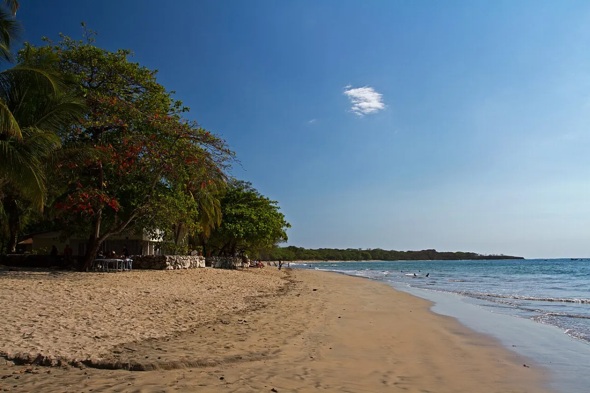

Tamarindo offers a beach-town base with food, accommodation and surf services close at hand. Playa Grande is a different place and approach, not simply the same strip under another name. Choose between them by where you want to stay and how you intend to spend the day; local roads and any water crossings must be understood before booking transport.
For a surf lesson, let a qualified school choose a suitable section for your experience and that day's conditions. Do not wade through an estuary to create a shortcut. Protected coastal areas can have specific wildlife restrictions, so check the current rules rather than walking onto a nesting beach at night independently.
Playa Guiones and Nosara: a surf-focused stay
The Guiones area suits a trip organised around surfing and time at one coastal base. Nosara is the wider area, so check whether the hotel is actually near Guiones, another beach or inland. A stay described as being in Nosara does not necessarily put you within an easy walk of the sand or your lesson meeting point.
Plan the final approach and local journeys, particularly if you will not have a car. Surf conditions and swimming suitability are separate questions. Keep a plan for a land-based afternoon and avoid treating an exposed surf beach as a children's bathing area simply because families stay nearby.
Santa Teresa and Mal País: southern Nicoya's coastal base
Santa Teresa works best when you allow enough time to settle in, rather than using it as a brief stop reached by an unnecessarily complicated transfer. Accommodation can be spread along the coastal corridor or above it, so check the distance and road between the room, meals and beach. An ocean-view room may require a vehicle for everyday outings.
Mal País and Santa Teresa are neighbouring places with their own character. Neither should be promoted through unsupported claims about public nudity or guaranteed secluded swimming. Choose your beach time by local conditions and organise the arrival around the actual ferry or road route. See Getting Around for the peninsula connections.
Manuel Antonio and Espadilla: distinguish park and public access
The Manuel Antonio area contains beaches reached through the national-park visit and shore outside that admission system. Check the exact beach and entrance before setting off; a photograph labelled Manuel Antonio does not prove that it can be reached without a park reservation. Quepos and the accommodation corridor are also separate from the park itself.
Combine a forest walk and beach time only within the permitted visit and current rules. Keep belongings secure and food away from wildlife. Avoid using the sea as an automatic cool-down after a hot walk if the local warning, swell or lifeguard advice says otherwise. Consult SINAC's official park information for the current admission arrangements.
Uvita and Marino Ballena: scenery shaped by the tide
The whale-tail tombolo is the defining coastal feature, but the route across it is available only when the tide permits. Confirm the return window with park staff and leave a margin before incoming water changes access. The view from above and the experience at beach level are different; do not step into a restricted area or use a drone without the necessary authorization to reproduce an image.
Marino Ballena includes several sectors, so choose the intended entrance rather than navigating only to a generic park pin. A marine-wildlife outing is a separate booking, not an automatic inclusion with a beach visit. Read SINAC's Marino Ballena guidance for tides, sectors and current visitor rules.
Cahuita and Punta Uva: southern Caribbean choices
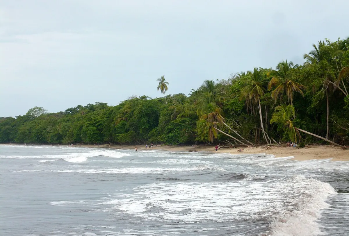

Cahuita offers a coastal-forest national-park setting alongside the village; Punta Uva belongs to the broader southern Caribbean beach corridor. Choose Cahuita for the combination of walking, habitat and local base, while checking the specific access and services for the beach you want near Punta Uva. The park and the wider coast are not one single admission or guided activity.
At Cahuita, Playa Blanca and Puerto Vargas have different entry arrangements. Ask about current trail conditions and marine outings before building your day around a full coastal walk or snorkeling trip. Keep off coral and use an appropriate authorized operator where needed. SINAC's Cahuita page is the official starting point.
Tortuguero: choose it for wildlife, rather than swimming
Tortuguero's beach belongs to a fragile nesting and coastal landscape. The reason to travel here is the canal, forest and wildlife setting; it is not an alternative to a straightforward resort beach. Authorized turtle viewing follows local controls and seasonal conditions, and an independent nighttime walk is not a substitute.
Never touch turtles, hatchlings or nests, and follow the guide's restrictions on light and photography. Use our Tortuguero planning section for the difference between canal access, land trails and turtle outings.
Plan a beach day with a useful alternative
Carry sun and rain protection, water and a plan for valuables; do not leave bags in a parked car or unattended on the sand. A nearby café, forest visit or quiet afternoon can replace swimming without making the day unsuccessful. Coast-specific climate tendencies are in Best Time to Visit. Sources checked 2 November 2026 include the park pages above and FCDO water-safety advice; actual conditions still need a daily check.
Beaches FAQs
Which coast has the best beaches in Costa Rica?
Choose by the trip you want: town services, surf lessons, forest-and-coast walking or a quieter base. Neither coast is universally better, and a beautiful beach photograph does not show the conditions you will find.
Are Costa Rica’s surf beaches safe for swimming?
Surf quality does not establish safe swimming. Rip currents, swell and other conditions vary, and many beaches have no lifeguards. Seek reliable local advice, follow flags and choose a land-based activity when uncertain.
Can I reach the Uvita whale-tail at any time?
No. Access depends on low tide and current park instructions. Confirm the permitted window and return margin with park staff before walking out onto the tombolo.
Does every Manuel Antonio beach need a park ticket?
The area includes both beaches within the national-park visit and shore outside it. Identify the exact beach and entrance; do not infer access from a generic Manuel Antonio label.
Is Tortuguero a good choice for a swimming holiday?
Choose Tortuguero for its canal, forest and wildlife setting. It is not a replacement for a straightforward swimming-beach stay, and turtle-viewing access is controlled.
Can I drive directly onto a beach?
Do not assume that a map route or tire tracks establish legal access. Use the designated approach and parking, respect protected areas and follow local instructions.