
Sign in
For Photos4Travel editors and team members.
Oʻahu · Photography
Waikīkī Beach Photography: Shoreline, People and City
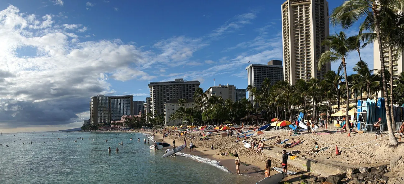

Waikīkī is a beach and a city setting at the same time. Bernard Spragg’s reference photograph uses a curving shoreline, people, palms and tall hotel buildings to hold those two qualities together. Diamond Head is not visible in this frame. That makes it a useful study of the beach’s everyday setting rather than another distant crater profile.
A beach, a summit and a boat are different outings
The beach runs diagonally through this photograph, bringing the foreground into a coastline that recedes towards the left. Hotel towers give scale, while boards and beach activity describe how the shore is used. There are no grounds to identify a particular person as taking a lesson from this image alone.
Work first from the public shoreline or path available to you. Moving a short distance can change how palms, buildings, water and the crater’s profile relate. Keep a route clear for swimmers, paddlers and other visitors rather than seeking an empty foreground at their expense.
If your aim is a summit photograph, check Diamond Head State Monument’s current access arrangements. Seeing the crater from Waikīkī does not require the same booking as entering the monument. A boat excursion has separate departure, route and weather considerations.
Use the light you actually find
Watch how light falls across the coast instead of assuming a single clock time will produce the best image. The brightest part of the frame may be sky or water rather than the subject you intended. Adjust the framing before relying on heavy editing, and keep a level horizon when it is visible.
A photograph with people, boards or boats can explain the setting if made considerately. Ask before a close portrait and avoid blocking working beach access. A longer focal length can simplify the coast, but a wider view may better communicate Waikīkī’s mixture of urban and coastal life.
Keep the photographic plan local
Combine an unhurried shoreline walk with food or another nearby visit rather than crossing Oʻahu several times for different lighting windows. Leave room for showers and avoid a tight timed booking immediately after a photographic walk. The island map helps distinguish Honolulu from the North Shore and windward coast.
This Hawaii companion supports a local outing. The USA guide has a separate offshore sunset image study; its source viewpoint is not a promise that this photograph was taken from the same place. Describe only the viewpoint established by the actual image record.
Frequently asked question
Does a Waikīkī photograph show the view from Diamond Head’s summit?
Not necessarily. Beach-level, offshore and summit photographs have different perspectives and access. Check the source context before using an image to plan your route.