
Map & Orientation
Rome Map & Orientation: Plan Routes by Area
Plan your Rome trip: Travel Guide · What to see · When to visit · Where to stay · Food & drinks · Airport transfers · Travel tips
Historic-center route at a glance
Five numbered stops in walking order. This is a route schematic, not a street map or a scale drawing.
- Spanish Steps / Piazza di Spagna
- Trevi Fountain
- Pantheon / Piazza della Rotonda
- Piazza Navona
- Piazza di Santa Maria in Trastevere
Open the marked five-stop walking route in Google Maps
About 3 km of connecting walks. Finish at Piazza Navona for the shorter option, or reverse the order from Trastevere. See the distance table below for the existing planning estimates.
A useful Rome map should answer two questions: where are your main stops, and how will you move between them? Start with the city’s sightseeing areas, then use a current transport map for the longer journeys. A regional map with one Rome marker cannot replace a street-level route or a metro plan.
Save the accommodation entrance and the entry points printed on your tickets. For a large museum or archaeological complex, the destination pin may not mark the gate you need. Building the day around the right entrances prevents unnecessary backtracking.
Official maps to use
- Turismo Roma’s official city-map page: use it for the tourist-map overview and its available resources.
- ATAC’s official public transport maps: the page offers city-center, metro and rail, night-line and other network maps.
Map landing pages checked October 2, 2026. Download the current version you need before departure and check service updates separately. A network map describes connections; it does not guarantee that a lift, station entrance or line is operating normally when you travel.
Understand the main sightseeing areas
| Area | Use these landmarks | How it helps your plan |
|---|---|---|
| Historic center | Pantheon, Piazza Navona and Trevi Fountain | Group flexible walks and a central interior visit without repeatedly crossing the city. |
| Ancient Rome | Colosseum, Roman Forum and Palatine | Reserve a substantial block and check the entrance specified by your ticket. |
| Vatican side | Vatican Museums, St. Peter’s Square and Prati | Treat museum entrance, museum exit and basilica access as different points. |
| Termini area | Roma Termini station and the actual hotel entrance | Plan the final luggage leg after an airport train or before an onward departure. |
| Trastevere | The district’s restaurant streets and your chosen address | Separate the neighborhood destination from Roma Trastevere railway station. |
| Northern center | Piazza di Spagna and Villa Borghese | Check changes in level and the route to a specific gallery entrance. |
Walk within an area; check the longer link
Rome rewards walking between nearby stops, but a full sightseeing day can accumulate more distance and standing than the map suggests. Compare the route in both directions if hills, steps or luggage affect your group. A route that suits an evening stroll may not suit a suitcase or wheelchair.
Choose public transport or a licensed vehicle when it solves a particular longer journey. Look at where the service leaves you and how far the final walk is. A metro station near a museum district does not necessarily sit beside the entrance.
For current route choices, use the official network and service information rather than relying on an old line number in a guide. The Travel Tips page explains ticket selection and validation; the airport guide covers the separate arrival routes.
Three ways to group a sightseeing day
Ancient Rome
Place the Colosseum’s timed entrance first in the planning process. Read the Forum and Palatine validity conditions, then choose the sequence that fits. Keep a nearby meal and a lighter later walk instead of adding a distant timed museum.
The Vatican side of the Tiber
Mark the Vatican Museums entrance separately from St. Peter’s Square. Decide whether you will visit one or both, accounting for screening and the walking between them. Add a meal in Prati or nearby only after checking where the museum route will end.
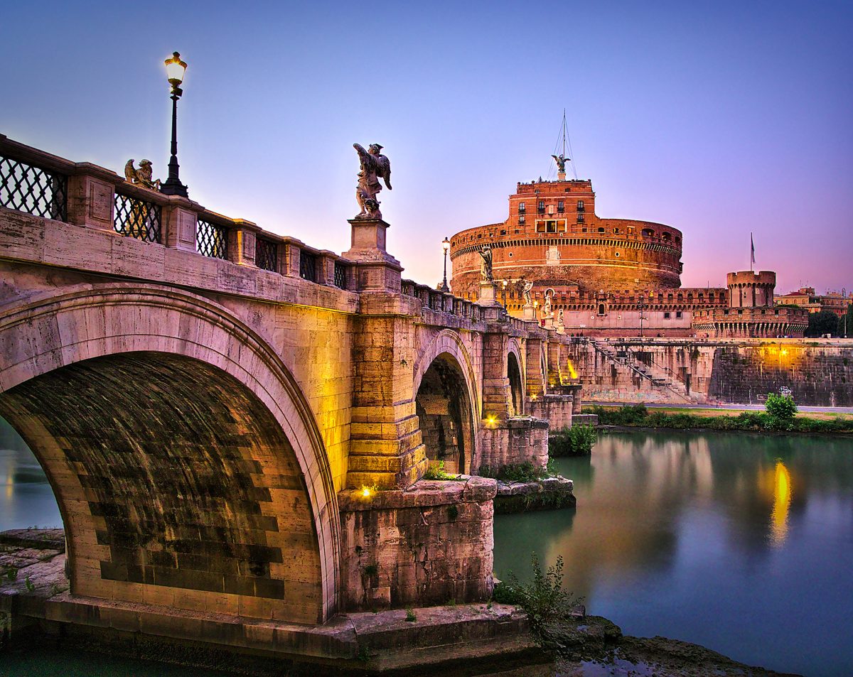
Photo: Thomas Fabian · Wikimedia Commons source · CC BY-SA 3.0. Resized and optimized for this website.
.jpeg)
The central squares
Connect the Pantheon area, Piazza Navona and Trevi Fountain as a flexible walking day. If you intend to enter the Pantheon or the controlled Trevi basin area, check the current access conditions. You can enjoy the surrounding streets without scheduling every stop to the minute.
The attractions guide compares these visits. Use its booking advice with the map rather than treating all landmarks as interchangeable stops.
Check the accommodation address before paying
Test the location against arrival, sightseeing and the return after dinner. Look for a route to the building entrance, not just the center of the neighborhood. Ask a host about access restrictions or the best drop-off point if a vehicle cannot reach the door.
A property’s district label can cover several different streets. “Central” should start an address check, not replace one. Compare the options in Where to Stay in Rome.
Five-stop historic-center walking route
- Spanish Steps / Piazza di Spagna: start at the bottom of the stairs.
- Trevi Fountain: reach the public square; close access is a separate admission decision.
- Pantheon / Piazza della Rotonda: use the square as your walking stop; allow additional time for booked entry.
- Piazza Navona: pause by the fountains or end the shorter walk here.
- Piazza di Santa Maria in Trastevere: the final map pin is the basilica on the square; church entry is optional.
Walking order: Spanish Steps → Trevi Fountain → Pantheon → Piazza Navona → Piazza di Santa Maria in Trastevere. Open the five-stop walking route on Google Maps. The final pin is the basilica on the square; entering the church is optional.
| Walking leg | Planning distance | Walking time |
|---|---|---|
| Spanish Steps → Trevi | About 650 m | 9 min |
| Trevi → Pantheon | About 650 m | 8 min |
| Pantheon → Piazza Navona | About 350 m | 5 min |
| Piazza Navona → Trastevere square | About 1.4 km | 19 min |
Shorter version: finish at Piazza Navona after the first four stops, around 1.7 km of connecting walks. Start at the bottom of the Spanish Steps in Piazza di Spagna to avoid making the stair climb part of the route. For a base in Trastevere, open the same route in reverse and finish near Spagna. If your Pantheon booking falls mid-route, work outward from it instead of following the sequence rigidly. The Rome map guide lists each stop and alternative starting points.
Alternative starting points
- Spagna arrival: start in Piazza di Spagna at the foot of the stairs.
- Trastevere base: follow the reverse route and finish near Spagna.
- Shorter walk: finish at Piazza Navona after the first four stops, approximately 1.7 km.
- Pantheon reservation: build the walk around your entry slot and explore the two halves before and after it.
This route is not an accessibility assessment. Check paving, gradients, crossings and your own mobility needs before setting out. A map walking estimate does not include queues, rests or attraction visits.
Make the map useful offline
- Save the hotel entrance, reception contact and any buzzer or check-in instructions.
- Mark the confirmed entrances for your reserved attractions.
- Download the street area and the current public transport map you will use.
- Keep a written address as a fallback for a taxi driver or local assistance.
- Review the route while stopped somewhere suitable rather than walking through traffic.
When a map needs extra information
For accessibility, ask the operator about the relevant station and venue route. For night travel, check the current night network and your departure time. For weather, shorten exposed walks or select an indoor alternative that has available entry.
A map gives the layout; the operator supplies today’s service conditions. Use both, then return to the Rome travel guide to turn the route into a manageable itinerary.

Compare Rome hotels on Booking.com
Affiliate link: we may earn a commission if you book, at no extra cost to you.