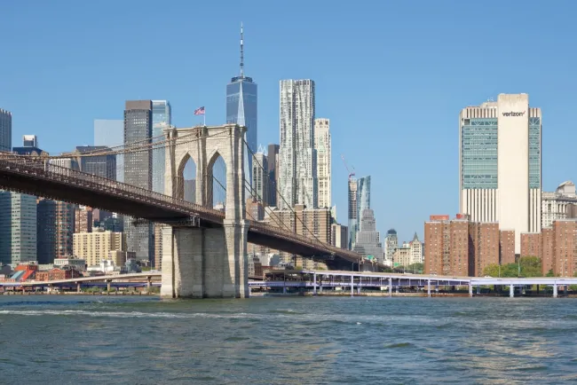
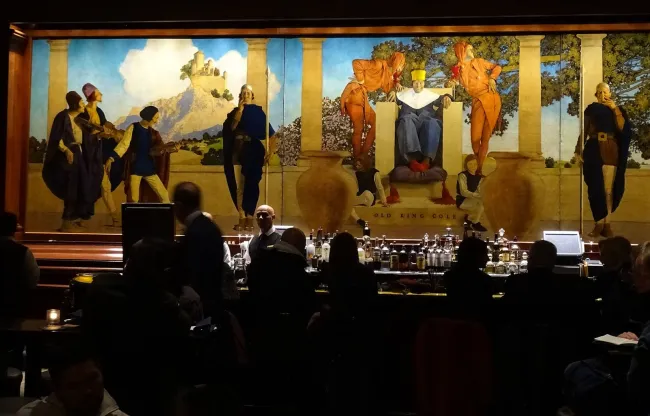
This page helps arrange a varied city photography plan. Its companions explore Brooklyn Bridge, Central Park, Empire State Building views, a Statue of Liberty outing and a Times Square evening. These are different local visit decisions, not interchangeable versions of one skyline image.
Williamsburg waterfront: Midtown across the East River
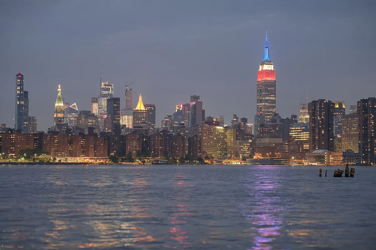
For a waterfront view that includes the Empire State Building, choose a public part of the Williamsburg shore rather than the building itself. Domino Park, at 15 River Street, is a practical present-day starting point. Its visitor page lists the L train at Bedford Avenue, the J/M/Z at Marcy Avenue and the North or South Williamsburg ferry stops; compare the complete walk from your chosen connection.
The reference photograph was made from the Williamsburg shoreline in May 2018. It illustrates Midtown across the East River, not a verified camera position inside today’s Domino Park. Use the riverfront to compare the skyline and foreground from permitted public space; do not try to enter the historical source’s exact position or assume that buildings and access are unchanged.
A photograph of the Empire State Building and one made from its observatory are different choices. If the tower’s outline is the subject, keep it across the river or choose another external viewpoint. If the city view from the tower matters, use the observatory companion and the admission comparison. Follow the park’s current equipment and commercial-use rules.
Brooklyn Bridge Park’s Pier 1: Lower Manhattan over the river
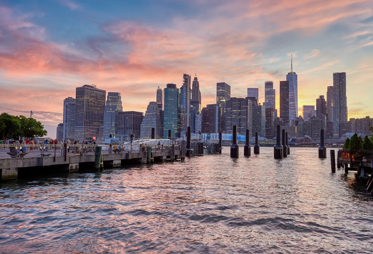
Use Fulton Ferry Landing and Pier 1 for a compact Brooklyn waterfront outing. The park’s official directions identify the Pier 1 approach at Old Fulton and Water Streets. From the landing, follow the public waterfront into Pier 1 and compare Lower Manhattan views before deciding whether to extend the walk.
The reference is a June 2021 Pier 1 view with Lower Manhattan and old pier piles. A broad frame can show water and the city together; a tighter view can give the skyline more weight. The Pier 1 map and visitor information help distinguish its lawns, paths and Granite Prospect from a visit to the whole park. Check the actual surface and approach if steps or slopes matter to you.
Arrive before your preferred light so you can choose a permitted stopping place without rushing. Keep the horizon level and watch for bright objects at the frame edges. A clear sunset is not guaranteed; low cloud or an overcast afternoon can still make a coherent city study. Keep equipment secure and stay clear of passing walkers. For bridge-led views, continue with the separate Brooklyn Bridge companion rather than treating every waterfront frame as the same subject.
Bow Bridge and the Lake: a Central Park daylight outing
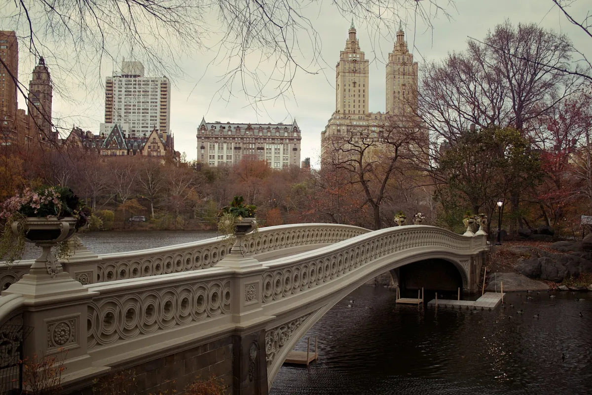
For a daylight park outing, make Bow Bridge and the Lake the main subject. An editorial approach is to enter from West 72nd Street, pass Strawberry Fields and Cherry Hill, then use the public Lake paths to look towards Bow Bridge. Follow the Conservancy map rather than assuming every path is level or step-free.
The accompanying November 2008 image shows Bow Bridge and the Lake. Try a frame from the surrounding path before joining the narrow bridge: this can give the structure, water and planting a clearer relationship while leaving the crossing usable. Reflections depend on wind and light, and a historical autumn scene does not establish foliage for your dates.
If you want an architectural companion, continue towards Bethesda Terrace only when the extra distance suits the day. The Bethesda Terrace photo guide deals with the arcade and current fountain-restoration context; it is a different subject from Bow Bridge. Finish on the side of the park that fits your next meal, museum or transport connection. Keep passages open and choose a safe place to stop before checking the camera.
Build two focused photographic outings
One practical approach is to separate an outdoor waterfront outing from a Midtown evening. For the waterfront, choose a limited route, leave time for changing light and finish with a known return connection. For Midtown, combine the skyline or architecture priority with a short street scene after dark, keeping the distance and reservation commitments manageable. These are planning patterns rather than fixed shooting schedules.
Give a Central Park scene its own daylight window if that subject matters to you; do not assume it can be squeezed between distant timed admissions. Check sunrise, sunset, weather and current visitor access for the actual date. Travel light enough to use public transport comfortably, and investigate tripod, commercial photography or special equipment rules with the specific venue. A general photography interest does not establish permission for every setup. Keep the original subject and location with each finished caption so later editing does not turn a precise image into a misleading label.
Read historical photographs as historical records
New York's skyline and public spaces change. A dated reference is useful for understanding a subject, but it is not proof of today's construction, crowds or access. Keep the distinction between the date an image was made, the date a source published it and the date of current travel advice.
The retained Hale-Bopp archive note concerns a photograph published in 1997. It is a historical reference, not a present-day comet-viewing plan. The USA collection's Statue of Liberty image analysis and Times Square night-image analysis study specific historical pictures. Use those focused readings when helpful; use the city companions here to plan the local outing you will actually make.
Travel Tip:
Write a short purpose for each outing: a skyline relationship, a park scene or street movement. That makes viewpoint and light decisions more useful than a long list of familiar names.
Sources and Current Checks
Editorial sources checked on 3 November 2026. Check current operating, booking and travel conditions for your dates.
- Brooklyn Bridge Park — maps, access and permits
- Central Park Conservancy — visitor information
- Empire State Building — visit planning
- Grand Central Terminal — visitor and photography information
- NASA APOD — Hale-Bopp over New York, 8 April 1997
- Domino Park — current visitor information
- Brooklyn Bridge Park — maps and directions
- Brooklyn Bridge Park — Pier 1
- Central Park Conservancy park map
- Central Park Conservancy — Bow Bridge
Frequently Asked Questions
Should I visit several observation decks for photographs?
Only if they give you meaningfully different subjects or perspectives. A deck view, a waterfront skyline and a street scene often create more variety.
Can I reproduce the exact light shown in a guide photograph?
No reference image guarantees weather or lighting. Check your date, conditions and access, then adapt the intended composition.
Does the Hale-Bopp archive describe something visible now?
No. It concerns a historical image published in 1997 and should not be used as current skywatching instructions.