AFRICA · SOUTH AFRICA GUIDE
South Africa Facts: Languages, Geography and Country Context
South Africa's basic facts become useful when you understand what they mean for a visit. Several official languages, nine provinces, a single national time zone and very different regional climates shape the experience. This page is a reference for names, geography and everyday context. Detailed entry, health, transport and budget decisions belong in their dedicated guides rather than being repeated as a second checklist here.
Use national facts as a starting point, not a description of every person or place. A province contains many communities, a city name can coexist with an older airport label, and an average temperature does not describe a mountain morning. Knowing those limits makes the information more useful than memorising a set of statistics without context.
Core facts and their travel meaning
On a small screen, scroll the table sideways to compare all columns.
| Fact | Reference | Why it matters |
|---|---|---|
| Country | Republic of South Africa | Neighbouring countries have their own entry rules |
| Currency | Rand; currency code ZAR; symbol R | Recognise local prices without confusing them with another dollar currency |
| Time | South African Standard Time, UTC+2 | Use one local time reference for national travel |
| Provinces | Nine | Administrative boundaries differ from tourism regions |
| Official languages | Twelve, including South African Sign Language | Language and culture cannot be reduced to one national stereotype |
| Capital functions | Pretoria, Cape Town and Bloemfontein have distinct roles | Johannesburg is a major gateway but not the administrative capital |
The government's country overview is the primary reference for the national currency, time, languages and capital functions. Population and economic figures change, so this travel reference avoids presenting a dated total as a permanent characteristic of the country.
Understand the capital functions and major cities
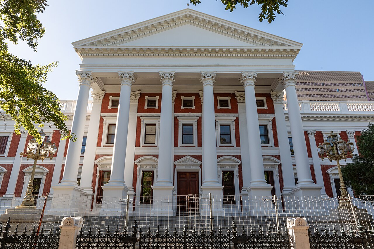
Pretoria is associated with the administrative capital, Cape Town with Parliament and the legislative role, and Bloemfontein with the judicial-capital description and the Supreme Court of Appeal. There is an important nuance: the Constitutional Court is in Johannesburg. Calling the country a place with three capitals is a convenient summary, but it should not imply that every court or government function sits in one of those three locations.
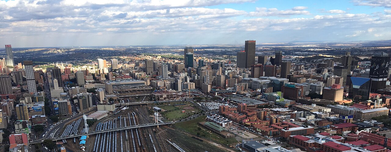
Johannesburg is the country's major commercial metropolis and a common international arrival point. Pretoria forms part of the wider Gauteng urban region but is a distinct destination. Cape Town's geography, Durban's Indian Ocean setting and Gqeberha's position on the Eastern Cape coast give them different roles in travel planning. Choose a city because it serves the trip you want, not because a capital label makes it seem compulsory.
Twelve official languages
The official languages are Afrikaans, English, isiNdebele, isiXhosa, isiZulu, Sepedi, Sesotho, Setswana, siSwati, Tshivenda, Xitsonga and South African Sign Language. The recognition of SASL matters: outdated descriptions listing only eleven official languages omit an important part of the country's constitutional language framework. The government's statement on the 2023 signing records the change.
English is useful in many visitor-facing settings, but that does not make it everyone's preferred or first language. Ask what someone is comfortable using and be patient when names or explanations are unfamiliar. A few correctly pronounced greetings can show care, while assuming a person's language from appearance does the opposite. For a guided experience, confirm the language offered and any interpretation support you need before booking.
Official recognition does not mean every tourism service provides communication in every language. Deaf travellers should ask about actual SASL interpretation, visual information and the format of safety briefings rather than relying on a general accessibility claim. Clear written instructions can be helpful, but they are not automatically a substitute for the support a particular visitor requires.
Names you may encounter on maps and bookings
Gqeberha is the city formerly widely known as Port Elizabeth. Older guidebooks, business names and some travel systems may still use the older name. The practical response is to verify that the accommodation, airport and transfer refer to the same destination, rather than assuming two names identify two different cities. SANParks uses both names in its Addo visitor context, helping orient travellers researching the Eastern Cape.
Likewise, a metropolitan name and a familiar city name can coexist. An address described with a municipality, a suburb and a city may contain several geographic levels. Keep the actual street address and property contact with your booking. For a protected-area stay, the entrance and camp are often more important than the broad town label displayed by a booking platform.
Use the name an institution currently uses for itself and preserve legitimate historical names when explaining older material. A museum display or a dated photograph may require the name that applied at the time. Treat that as context rather than a reason to overwrite current place names throughout your travel notes.
Nine provinces, many travel regions
The provinces are Eastern Cape, Free State, Gauteng, KwaZulu-Natal, Limpopo, Mpumalanga, Northern Cape, North West and Western Cape. The official provincial overview gives the administrative framework. Tourism names such as the Garden Route, Winelands or Panorama Route describe different kinds of regions and do not replace those boundaries.
That distinction helps when reading accommodation listings and park information. A hotel can be in one province while the region it markets extends into another. Kruger is a protected area spanning part of the northeast rather than a province, and a private reserve beside it is not automatically inside the national park. Use the map and regions page to connect names to the actual journey.
Time, seasons and altitude
South African Standard Time is UTC+2. Keep transport and activity confirmations in the provider's stated local time, especially when your phone retains another time zone during travel. International connections can cross a date boundary even when the domestic portion does not, so compare full dates as well as clock times in an overnight itinerary.
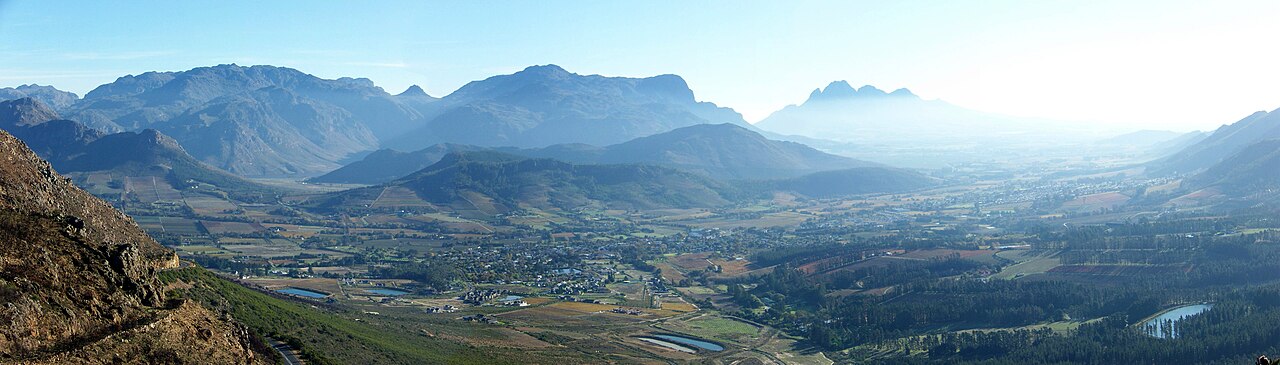
The country lies in the Southern Hemisphere, so its seasonal pattern is reversed from Europe or North America. That does not make all regions hot in summer or mild every winter day. The government climate overview explains the influence of altitude and the contrast between Western Cape winter rainfall and the wider summer-rainfall pattern.
For travellers, clothing should follow the activity and time of day. A warm city afternoon does not predict an open-vehicle dawn, an exposed mountain route or a windy coast. Read regional weather information when selecting dates and carry appropriate layers rather than packing for an imagined single national climate.
Currency and price context
The rand is divided into cents, and local prices commonly use the R symbol. ZAR is the useful code when comparing currencies or reading an international booking confirmation. Confirm whether a quote is per person, per room, per vehicle, per night or for an entire activity. Two apparently similar totals can describe very different products.
A lodge price may include meals and scheduled drives, while an urban room price may cover accommodation alone. A conservation charge, a guided activity and a transfer can be separate items. The costs and money guide develops those budgeting decisions; no single national daily budget can represent every travel style.
Borders, parks and coastal geography
Lesotho and Eswatini are separate countries, as are South Africa's other neighbours. A route crossing one of their borders needs its own entry and vehicle-permission checks. A navigation shortcut is not a reason to cross without preparation. Keep cross-border plans explicit, especially when using a rental vehicle or connecting onward by a different route.
National parks, provincial reserves and private reserves have different managers and booking systems. An annual access product or an overnight room booking should not be assumed to cover every activity, area or conservation charge. Check the actual operator. On the coast, Cape Point and Cape Agulhas are different places; the Agulhas park overview identifies the southernmost tip and official ocean meeting point.
South Africa facts FAQ
Does South Africa have eleven or twelve official languages?
Twelve. South African Sign Language was added in 2023. Older descriptions that still say eleven have not incorporated that change.
Is Johannesburg the capital?
It is a major city and the location of the Constitutional Court, but the conventional capital roles are associated with Pretoria, Cape Town and Bloemfontein. Choose your travel gateway according to your itinerary rather than a capital label.
Is the weather similar everywhere?
No. Rainfall patterns, altitude, exposure and distance from the coast produce important differences. Check the regions and activities on your own route instead of treating one city's forecast as a national guide.