NETHERLANDS · AMSTERDAM GUIDE
Amsterdam Map & Neighbourhoods Guide
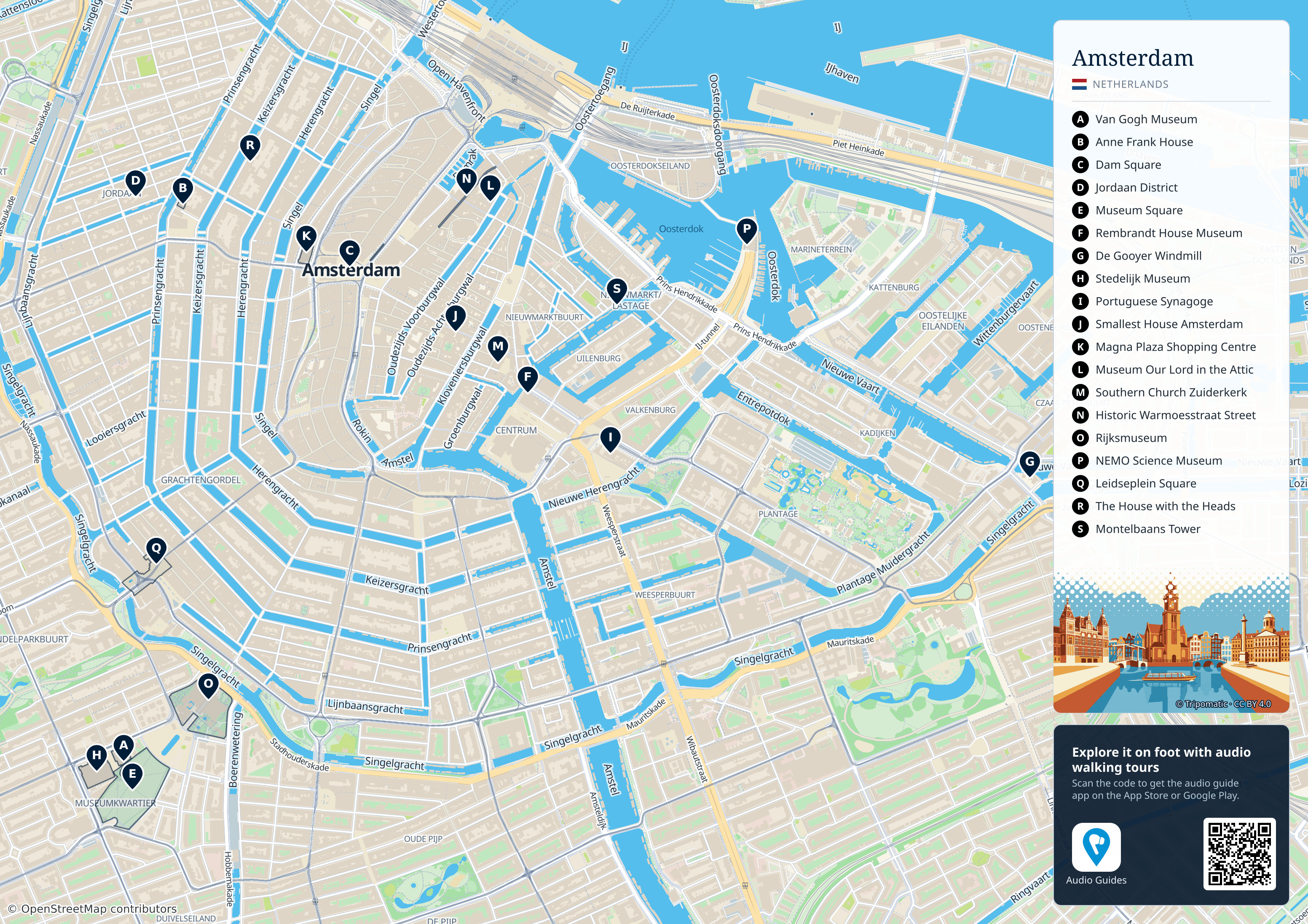
The letters A–S identify 19 sights, with a key on the right. Use the canal ring and the IJ waterfront to orient yourself, then locate your next stop. Open the 3104 × 2192 pixel map to read street names or save a copy for offline planning. The map covers the central area; most of Noord and the outer neighbourhoods lie beyond its edges.
Think of central Amsterdam as a set of small areas linked by bridges and public transport. The IJ waterfront is north of the historic centre; the canal ring curves around the old core. Museumplein lies farther south, while De Pijp is southeast of the main art museums. Noord is across the IJ, so a short distance on a map may still require a ferry or metro connection.
| Area | What to plan here | Connection to consider |
|---|---|---|
| Old centre / Centraal | Arrival, Damrak, Dam Square, older streets | Busy pedestrian routes; station exits lead to different sides. |
| Canal ring / Jordaan | Canal walks, independent shops, cafés | Several bridge crossings; allow extra time for photography. |
| Museum Quarter | Major art museums and Museumplein | Book timed visits before choosing a second stop. |
| De Pijp | Albert Cuyp market and food-focused exploring | Metro or tram can reduce a long walk from the centre. |
| Plantage / Oosterdok | ARTIS, NEMO and maritime interests | These are separate clusters; check walking distance between them. |
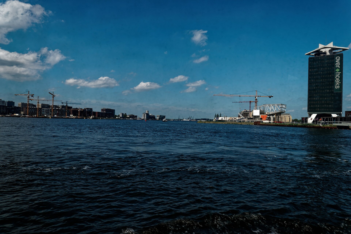
| Noord / IJ waterfront | EYE, waterfront views and selected cultural venues | Match the ferry landing or metro stop to the actual venue. |
Build a route one area at a time
| Link | Allow on foot | How to use it |
|---|---|---|
| Centraal → Dam Square | About 15–20 minutes | A compact introduction through the busy old centre. |
| Dam Square → western canals / Anne Frank House area | About 15–25 minutes | Choose the precise canal crossing for your booked entrance. |
| Museumplein → Albert Cuyp market | About 15–25 minutes | Pair art with De Pijp on a market trading day. |
| Centraal → Museumplein | About 40–50 minutes | A substantial cross-centre walk; compare public transport. |
These are approximate route-planning estimates, not accessible-route guarantees. For a transport map use GVB’s official maps; use the destination’s street address for the last leg. In particular, Plantage and Oosterdok should be treated as separate walking clusters.
Start with the address of your booked museum or activity, then add nearby places. A western canal day can connect Jordaan with the Nine Streets; a museum day can continue into Vondelpark or toward De Pijp. Moving repeatedly between Centraal, Museumplein and Noord uses time that could be spent exploring.
Use GVB’s live journey information for public transport and NS for trains. Check the direction and stop name just before travel, especially during diversions. Save your hotel and one useful transit stop offline.
The canal names help with orientation
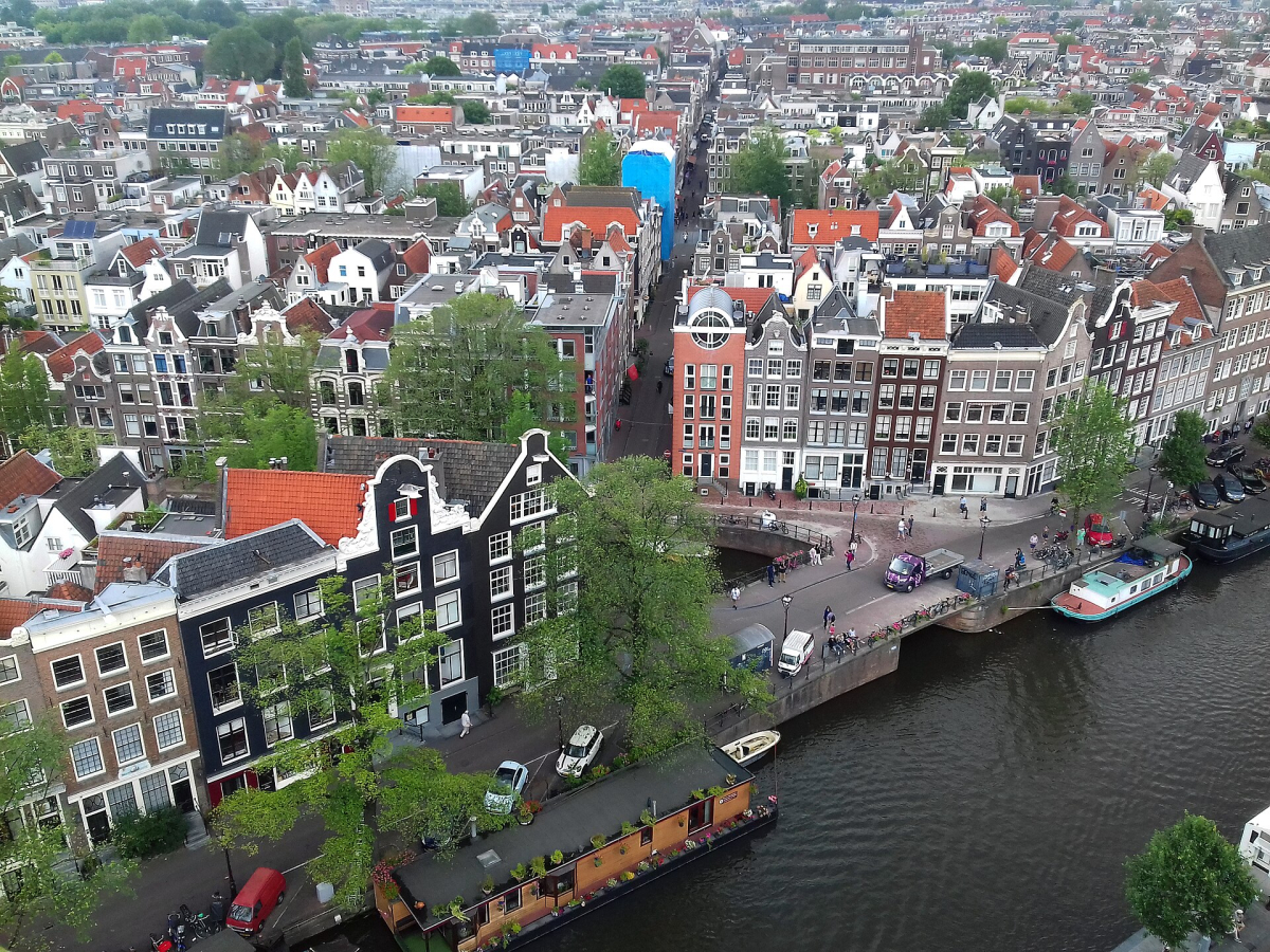
The Singel, Herengracht, Keizersgracht and Prinsengracht form useful reference lines, but they are long: an address on the same canal can still be far from your current position. Find the nearest cross street or bridge, then check the whole route. Singel and Singelgracht are different waterways.
Canal-side walking includes uneven paving, bicycles, deliveries and bridges. The shortest plotted line is not automatically the easiest route with luggage, a stroller or a wheelchair. Accessibility explains the checks that matter before relying on a route.
Where this guide fits
Use this page to group places geographically. Where to Stay compares accommodation bases, Getting Around covers travel products, and Itineraries gives a workable day-by-day order. The city is easier to enjoy when each day has one main anchor rather than several distant appointments.