AUSTRALIA TRAVEL GUIDE
Australia Walking & National Parks: Routes, Passes & Preparation
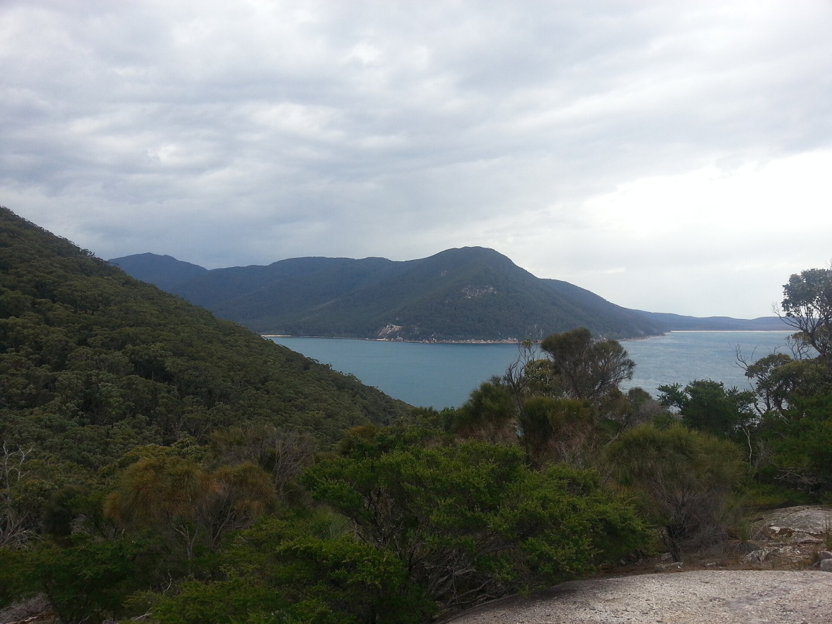
Australia’s parks range from city-edge coastal landscapes to rainforest, desert and alpine country. Choose a walk by terrain, exposure, season and the ability of the whole party. Distance alone is an unreliable measure: steps, heat, rough ground, river crossings or navigation can make a short route more demanding than a longer formed path.
This guide helps you choose a park visit and prepare the right questions. It is not a live track report or a navigation product. Check the responsible park authority’s current information, follow closures and change the plan when conditions do not support it. A previous visitor’s photograph cannot establish that a route is open or appropriate today.
Blue Mountains: distinguish lookouts from valley walks
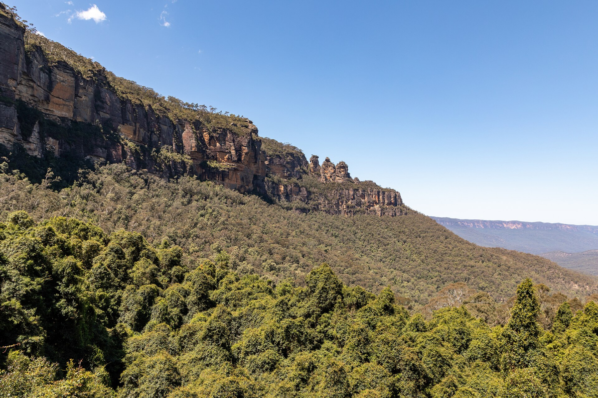
The Blue Mountains can provide a regional contrast to Sydney, but not every visit needs a long hike. Start by deciding whether you want an established viewpoint, a short formed walk or a more demanding route involving descent and ascent. The Three Sisters area is a useful orientation point; it does not describe the difficulty of every surrounding track.
Check the actual track description with NSW National Parks. Look at surface, steps, elevation change, expected duration and any current closure. An out-and-back route needs time and energy for the return, while a point-to-point walk requires transport at the far end. Do not assume a scenic railway, shuttle or other attraction will operate as the missing return connection.
Build a day that includes the journey from Sydney, food, water and daylight. If visibility or heat changes the value or safety of the planned walk, select a suitable alternative. An organised excursion can simplify access, but verify how much walking is actually included and whether the group’s pace fits your needs.
Uluṟu–Kata Tjuṯa: walking on Country
Walking in Uluṟu–Kata Tjuṯa National Park requires respect for Aṉangu Country and the park’s current guidance. Choose authorised routes and designated viewing areas. Uluṟu is closed to climbing. Cultural learning, appropriate walks and time to understand the landscape offer a different and more meaningful visit than treating the rock as a physical challenge.
Heat and exposure can affect which walks are appropriate and when they operate. Read the current park information before setting out, carry the required supplies and follow any restriction or direction from staff. An early start is not a guarantee that every route is suitable. The accommodation location and transport also determine whether the plan is realistic.
Respect no-photography signs and the boundaries of culturally sensitive areas. A marked track is not permission to record every feature beside it. Use the official park website for visitor information and Photo Spots for the separate questions around images and publication.
Cradle Mountain: choose the level of exposure
Cradle Mountain offers several visitor experiences, from shorter formed routes to demanding alpine objectives. A view of Dove Lake and the mountain does not mean that every visitor should attempt the summit. Choose according to weather, equipment, fitness and the group’s experience. Alpine conditions can change quickly, including outside winter.
Check the current access and shuttle arrangements with Tasmania Parks and Wildlife Service. A parks pass and the relevant shuttle product may need separate attention. Do not assume that arriving by car means you can drive to every desired starting point or that a general tour ticket covers the same access as an independent visit.
Keep a lower-exposure alternative and enough time for the return journey. A long drive after an unexpectedly slow walk can create a second problem. Accommodation near the region may provide more flexibility than trying to reach the park and complete a major walk from a distant base in one day.
Freycinet: the lookout and the beach are different walks
At Freycinet, the familiar Wineglass Bay view is an introduction to the landscape rather than a complete description of the available routes. Reaching a lookout, descending towards a beach and completing a longer circuit involve different effort. Check the current route description and choose the version that suits the party, rather than assuming one photograph represents a simple stroll.
Carry water, sun protection, suitable footwear and the layers appropriate to the forecast. Allow for time at the viewpoint without blocking the path, then keep enough energy for the return. If someone in the group is uncomfortable with the terrain or conditions, shorten the plan. Completing a predetermined loop is less important than returning safely.
The official Freycinet information is the starting point for access, visitor requirements and current advice. Combine the park with a sensible east-coast overnight plan. A brief stop between two long driving sections may provide less usable walking time than it appears to on the itinerary.
Tropical parks: rainforest and seasonal access
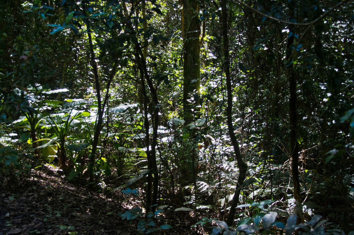
Rainforest visits in tropical Queensland and the Top End need local planning. A formed boardwalk, a guided cultural walk and a remote track are different activities. Compare access, surface, weather exposure and the transport required. A short route can still be unsuitable when heavy rain, flooding or a closure changes the conditions.
Kakadu’s seasonal landscape makes current information especially important. Select the visitor areas and experiences that are actually accessible, and follow guidance around water and wildlife. Do not treat a waterfall photograph as evidence of a safe swimming opportunity. Use the official park website and the advice of the relevant operator for the date and route.
A guide can contribute interpretation as well as transport, particularly where local knowledge is central to the experience. Ask what the visit includes, how the route changes with conditions and what participants need to bring. A guided format does not remove the need to be honest about your abilities and any assistance you require.
Western Australian and southern park journeys
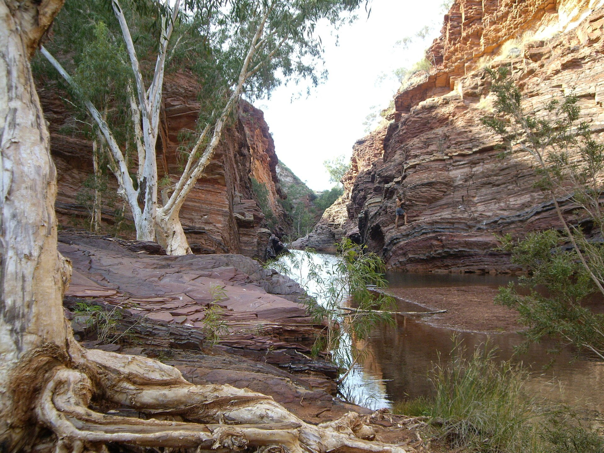
Western Australia’s parks span very different regions. A southwest coastal walk, a gorge in the Pilbara and a Kimberley journey cannot be prepared from one generic packing list. Check the park, road approach, vehicle requirements and current notices. The remoteness of the starting point may be as important as the walk itself.
In Victoria, places such as Wilsons Promontory offer coastal and bushwalking interests that need a regional time allocation. Compare a short accessible visit with a longer route or overnight plan. A national-park label does not guarantee that campsites, food, fuel or mobile coverage will be available where you expect them.
For every park, check whether entry, camping, a specific walk and transport require separate reservations or products. There is no single assumption that covers all Australian park systems. Use the relevant state, territory or national authority, and retain the actual booking terms and emergency information offline when appropriate.
Prepare the complete outing
Record the route, expected return, weather, daylight, supplies and communication plan. Tell an appropriate person what you intend to do when the remoteness or activity warrants it. Mobile coverage is not universal, and an offline map does not create an emergency connection. Seek route-specific advice before travelling beyond the level of preparation you possess.
Follow signs, remain on authorised routes and carry out waste. Do not feed wildlife or approach animals for photographs. Keep cultural and environmental restrictions separate from personal convenience: a closure is not an invitation to find another entrance. Responsible Travel explains these choices in more detail.
If the day changes, change the plan. A shorter walk, a visitor centre or a different local activity can preserve the holiday without pushing into unsafe conditions. The Health & Safety guide covers broader preparation, while the responsible park authority remains the source for the actual route and current access.
Swipe horizontally if needed to compare all columns.
| Outing | Do not assume | Confirm |
|---|---|---|
| Lookout | Every viewpoint is step-free | Surface, steps and access |
| Coastal walk | Distance alone defines effort | Exposure, return transport and weather |
| Alpine route | Summer guarantees mild conditions | Forecast, equipment and alternatives |
| Tropical park | A seasonal label proves a road is open | Actual visitor area and current notices |
| Remote walk | A phone creates coverage | Route-specific navigation and communications |
Frequently Asked Questions
Does a short distance mean an easy walk?
No. Terrain, steps, heat, exposure and navigation can make a short route demanding. Read the full route description.
Does one pass cover every Australian national park?
Do not assume so. Check the responsible authority and the products required for entry, transport, camping and any specific activity.
Can I rely on my phone for a remote walk?
Check coverage and prepare a route-appropriate communication and navigation plan. Downloaded information does not create a mobile connection.
Should I continue if the planned route closes?
Follow the closure and choose an authorised alternative. Do not use an old map or photograph to bypass current restrictions.