
Walking & National Parks in Portugal: Mainland and Island Choices
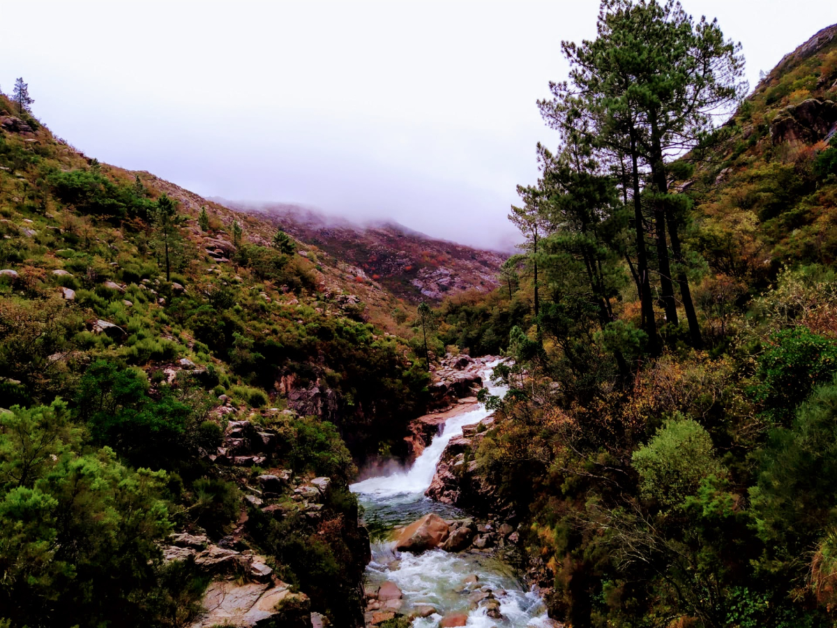
Walking in Portugal ranges from gentle town-and-coast outings to mountain paths and Atlantic island routes. Those choices need different preparation. Peneda-Gerês is the country’s national park; Portugal also has natural parks and other protected areas with their own rules. Do not assume every place described as a park has the same legal designation, terrain or access. This guide helps you choose a walking region and the questions to ask before selecting a trail. It is not a route description or navigation file. Use the official map for the exact walk, confirm current status, and match the route to your group’s experience and conditions on the day.
Peneda-Gerês: choose a gateway and a manageable route
Peneda-Gerês in northern Portugal combines mountain country, wooded areas, villages and water landscapes. A broad park label is not enough to choose a trail or hotel. Start with the actual part of the park you want to visit and a gateway that supports it, then compare a clearly documented route. Do not build a day around an informal waterfall location found on social media: the access may cross private ground, expose you to slippery rock or involve an unsafe approach. Use the official park and local information for permissions and current conditions. A shorter marked walk is a valid choice when transport, weather or the group’s ability limits a longer day.
Serra da Estrela: separate a scenic drive from mountain walking
Serra da Estrela in Centro de Portugal creates a different trip from a coastal city outing. Elevation, visibility and seasonal conditions affect route suitability, while access to the starting point may need a car or a specific local connection. Decide whether the priority is a village stay, a scenic visit or a genuine walking day. A road viewpoint does not establish that the surrounding mountain route is straightforward. Check the forecast for the relevant area and height, read the route’s ascent and terrain, and prepare an alternative at lower exposure. Winter travel needs its own current road and weather assessment; an old snow photograph cannot confirm today’s conditions.
Atlantic coastal walking: cliffs and wind deserve a plan
Portugal’s Atlantic coast offers paths around beach approaches, headlands and protected landscapes. Coastal walking can look easy on a photograph while involving exposed edges, loose surfaces and limited shade. Stay behind barriers and away from cliff margins; do not use an unofficial shortcut because it reaches a popular camera angle. Check the return transport before setting off on a linear route. Wind, heat and daylight matter even when the total distance seems modest. Choose a route whose current official description fits the group, and keep time for a safe return. A beach below a cliff may require a different access route and separate sea-condition decisions.
Ria Formosa: lower-exposure nature does not mean unrestricted access
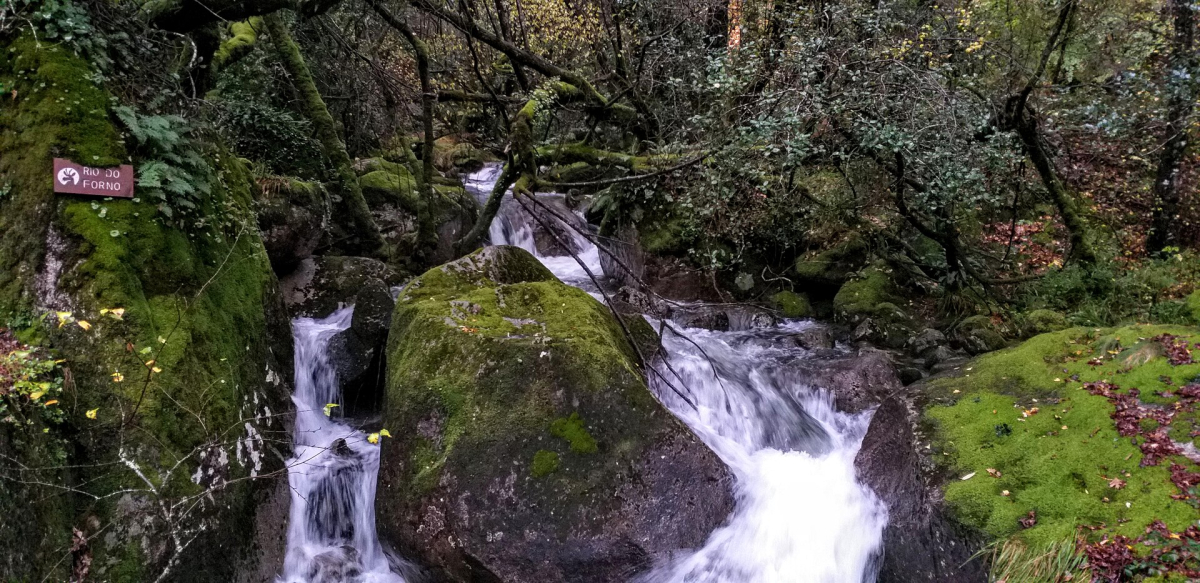
In the eastern Algarve, Ria Formosa offers a different environment from mountain trails: lagoon landscapes, barrier islands and opportunities for watching wildlife from suitable public positions. Choose the particular visitor area and route rather than assuming the whole lagoon system is one open walking park. Some outings involve a boat connection or protected habitat, so verify access and the last return service. Stay on designated approaches and avoid disturbing nesting or resting birds for a closer photograph. A short nature visit can provide an excellent alternative to a demanding hill route, but still requires attention to heat, water, opening arrangements and the needs of the group.
Madeira: check the current reservation and trail status
Visit Madeira’s official hiking guidance states that classified PR trails require prior reservation through the regional SIMplifica platform. The current trail page determines applicable fees, access conditions and any restriction; do not transfer one route’s price or opening status to every other walk. Check before booking and again before setting off. A reservation is separate from whether conditions are suitable for your group. Plan transport for both ends when a route is one-way, and save the booking confirmation offline. A levada route can include exposed sections or other constraints, so read the full official description instead of selecting solely by distance or a scenic name.
Azores: select the island and follow official trail alerts
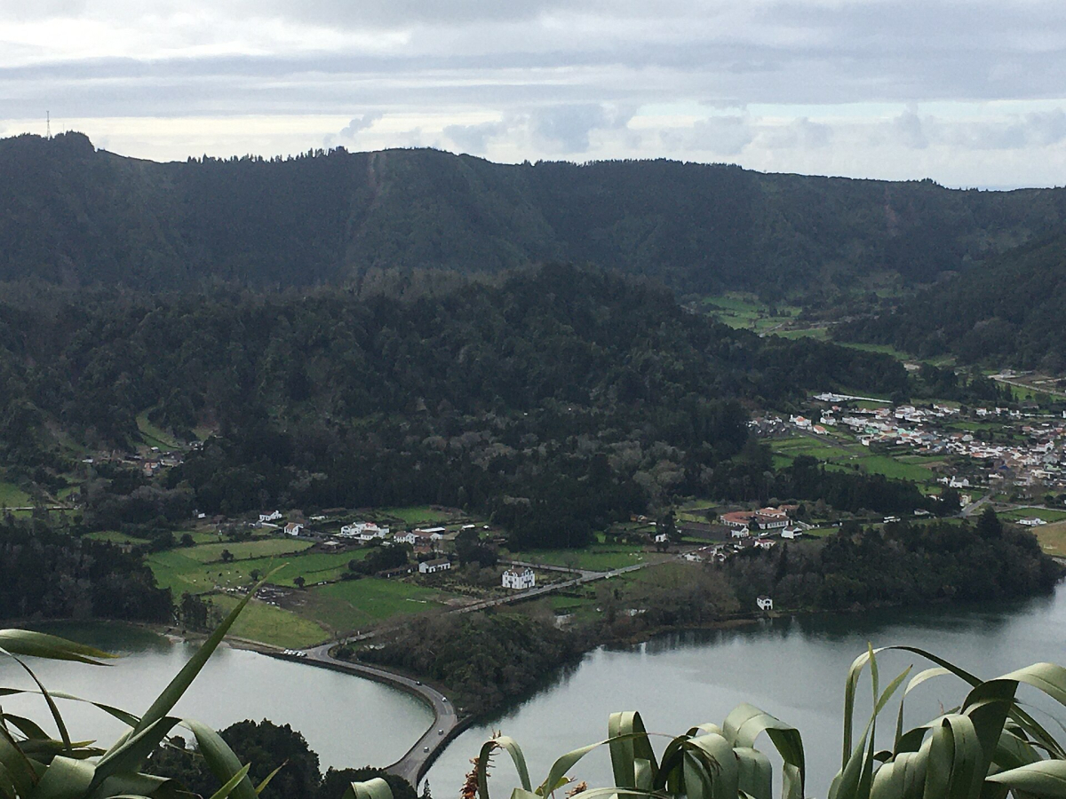
Azores walking begins with an island choice. A São Miguel crater landscape, a São Jorge route and a Pico outing involve different locations, access and conditions. The official Azores trail service provides route information and alerts; check the actual route code and current status rather than relying on a general island travel article. Visibility can affect a high viewpoint even when the nearby town is comfortable. Keep the day flexible and choose a lower-exposure alternative when appropriate. An inter-island connection adds a separate transport risk, so avoid using the final hours before an important flight as the only opportunity for a remote walk.
Read difficulty beyond the distance
A route’s kilometres do not tell the whole story. Compare ascent, surface, exposed sections, navigation, steps, expected weather and the distance from help. A short steep path can be harder than a longer maintained route. Use the official description to identify features that matter to your group, including mobility requirements and experience. If the description leaves a crucial point unclear, ask the responsible visitor service or choose a better-documented option. Do not assume a popular route is suitable for everyone. Decide before departure what would make you turn back, and keep the return journey within the daylight and transport available.
Plan the starting point, finishing point and last connection
Treat transport as part of the walking day. A public bus that reaches a village may not reach the actual trailhead, and a one-way walk may finish somewhere without a useful evening connection. Check dated services with the relevant operator, including weekends and seasonal changes. If using a taxi or transfer, agree the actual pickup point and how you will handle a change of plan. When driving, use permitted parking and avoid blocking residents, emergency access or farm work. Start with enough time to complete the route comfortably. If the only practical return requires rushing an unfamiliar path, choose another route or stay nearer the walking area.
Prepare for the environment you will enter
Bring equipment appropriate to the official route and conditions, including suitable footwear, water, weather protection and a way to retain route information when mobile coverage is poor. Keep an accessible record of the starting point, the intended walk and the return arrangements. Tell someone your plan when heading into a remote area. Check that any travel insurance matches the activities you intend to do, including relevant exclusions, before the trip. A guided outing does not remove the need to discuss terrain and personal requirements. Ask the operator what the route involves and what changes if weather or access prevents the planned walk.
Respect closures, fire precautions and protected habitats
Use current authority notices to decide whether the walk can proceed. A good forecast does not override a closure, and following other walkers past a barrier is not evidence of permission. Fire precautions, maintenance, storm damage or conservation work may change access. Keep to the authorised route, take rubbish out and avoid collecting plants or disturbing animals. If a trail crosses working land, respect gates and local instructions. In an immediate emergency, call 112 and give the location as clearly as possible. For ordinary route questions, use the responsible park or trail service rather than an emergency line.
When a guide or a simpler outing adds value
A guide can be useful when the route requires knowledge, the transport is awkward or the activity needs specialist organisation. Compare the actual route, group size, language, pickup location and physical requirements before booking. Do not assume every product described as a nature tour includes a substantial walk. An independent marked path is a different option, and a short town or visitor-centre outing can be better when weather or mobility needs make the original route unsuitable. Choose for the experience you want, not for the length of the advertised day. Avoid paying for a distant transfer that leaves very little time in the landscape itself.
Build a flexible walking itinerary
Choose one primary walking region for a short nature trip and an accommodation base that supports ordinary meals and the return journey. Keep at least one alternative with different exposure or an indoor focus. Use Best Time to Visit for broad seasonal planning, then check the precise forecast and official route status close to departure. Give a mountain or island day room in the schedule rather than placing it between two fixed transport commitments. The most successful plan is one you can adapt without pressure to ignore a warning, hurry an exposed section or miss the last connection simply because the original route looked attractive online.
Compare your choices
| Walking focus | Region to compare | Main preparation question |
|---|---|---|
| Northern mountain nature | Peneda-Gerês | Exact gateway, marked route and current park guidance |
| Highland landscapes | Serra da Estrela | Elevation, forecast and access to the start |
| Coast or lagoon nature | A specific Atlantic coast or Ria Formosa area | Authorised path, exposure and return connection |
| Island routes | Madeira or a selected Azores island | Trail status, reservation where required and transport |
Official information and sources
Linked practical information reviewed on 13 October 2026. Recheck current timetables, entry requirements, event programmes and access conditions before committing to bookings.