ITALY · PISA GUIDE
Pisa Map & Neighbourhoods
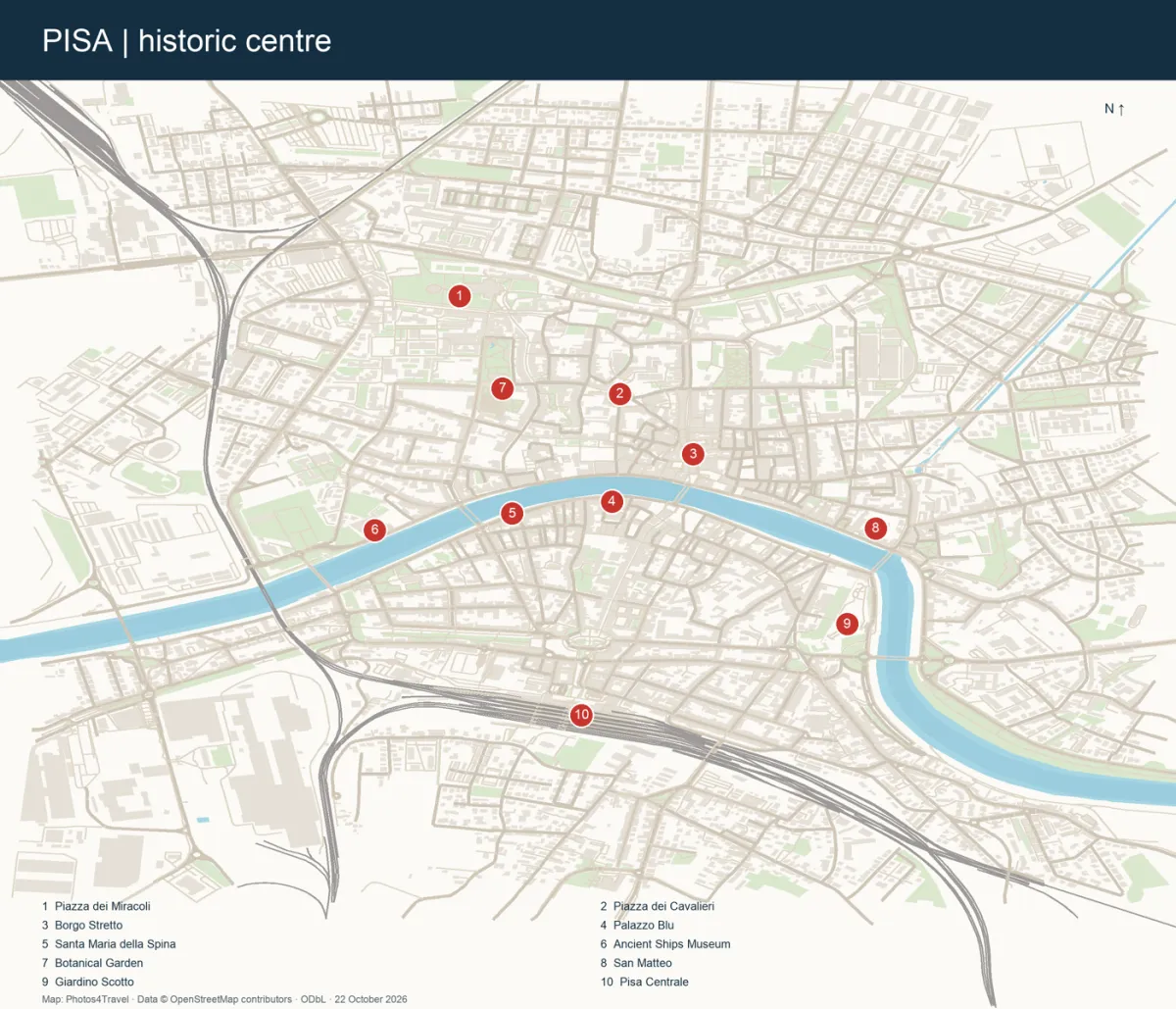
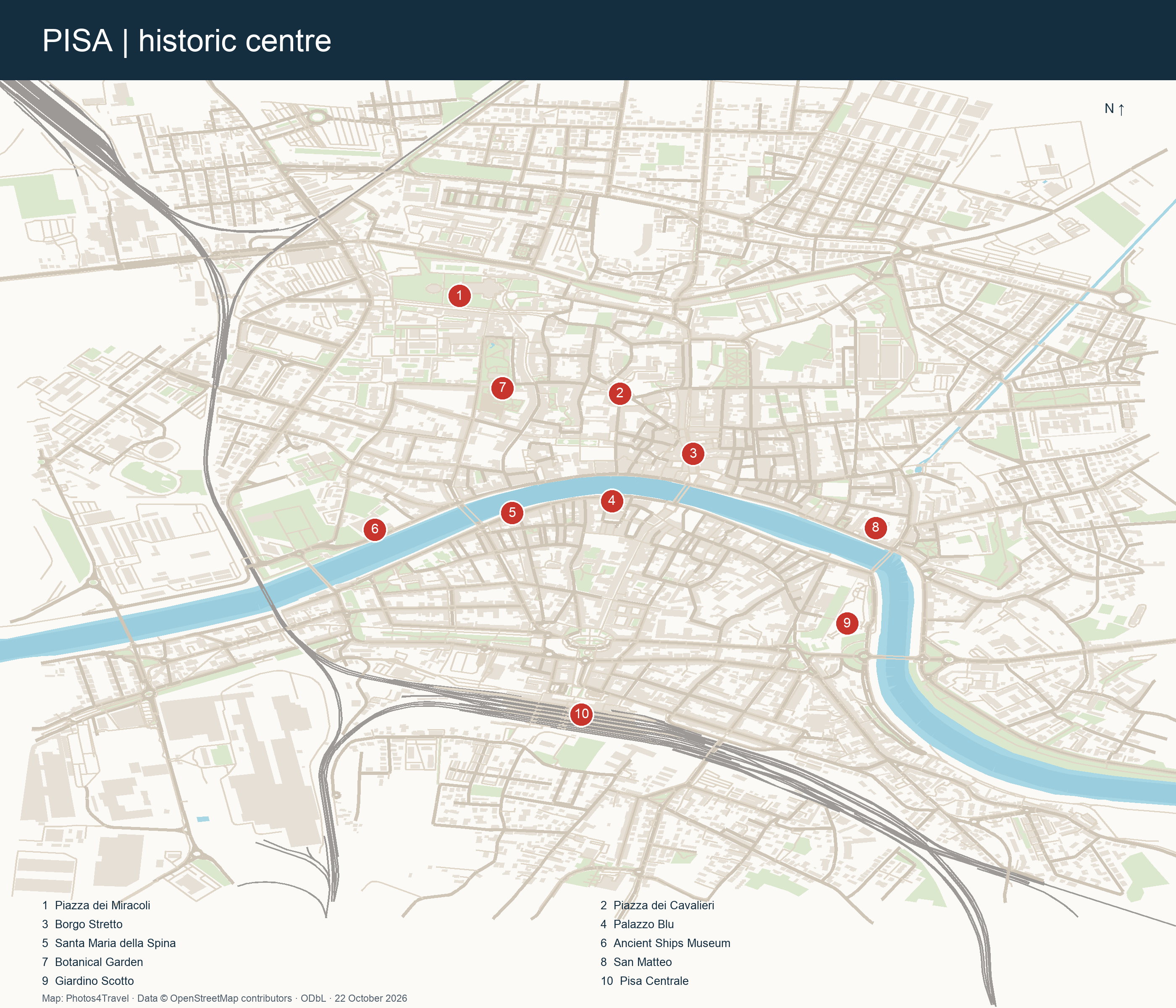
Pisa’s centre is divided by the Arno, with the cathedral square to the northwest and Pisa Centrale south of the river. Use the map to choose a sensible sequence, then check current access and transport separately: this is a city orientation map, not a live bus diagram or a certification of step-free routes.
How to read this map
The numbered map covers the historic centre, its principal monuments and Pisa Centrale. The airport, Cisanello, San Rossore Estate and the coast lie outside its frame. The base uses real OpenStreetMap street and place data retrieved on 22 October 2026; the labels select visitor landmarks rather than every place in the city.
Open the full-size image to read the street pattern and landmark key. North is at the top; the river is the main east–west reference. The railway crosses the western side of the map, so an apparently short connection can still need a particular bridge, underpass or station entrance.
Four historic quarters and the river
| Area | Where it fits into a city walk |
|---|---|
| Santa Maria | Northwest of the Arno: the cathedral square, Via Santa Maria and much of the university and botanical-garden area. Useful for a monument-first visit. |
| San Francesco | Northeast of the river: Borgo Stretto, side streets and the approach to San Matteo. Combine lanes with a riverside return. |
| Sant’Antonio | Southwest: the approach from Pisa Centrale, Corso Italia, Tuttomondo and the western south-bank river walk. |
| San Martino | Southeast: Via San Martino, Palazzo Lanfranchi and the approach to Giardino Scotto. Useful for extending a walk beyond the central bridge. |
North bank: square, university and Borgo
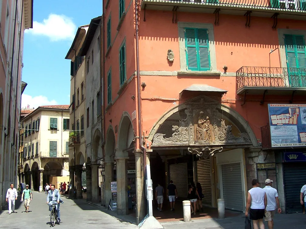
From Piazza dei Miracoli, Via Santa Maria leads towards the university streets. Piazza dei Cavalieri sits to the east of that route; Borgo Stretto leads south towards Ponte di Mezzo. These form a useful connected walk, but each detour or interior visit adds time. A tower reservation needs its own margin rather than a shortest-path estimate.
The botanical garden can provide a quieter break within this northern cluster. Check its gates and current notices; access through a university building or a private courtyard should never be inferred from a line on a map.
South bank and station approaches
From Pisa Centrale, the usual central approach leads through Piazza Vittorio Emanuele II and Corso Italia towards Ponte di Mezzo. Turn towards Piazza Vittorio Emanuele II for the exterior of Keith Haring’s Tuttomondo before committing to the walk north. Continue east on the south bank for San Martino and Giardino Scotto, or west for Santa Maria della Spina.
Pisa San Rossore and the San Rossore Estate are different destinations. The railway station can be convenient for the cathedral square, while the nature estate requires a separate route and access check. Our transport guide explains the two railway stations.
Beyond the map
Cisanello lies east of the historic centre and is a practical choice for some medical or business visits rather than a central sightseeing neighbourhood. The airport is south of Pisa Centrale; Pisamover links the terminal area with that station, after which you still need to reach your accommodation.
Marina di Pisa, Tirrenia and Calambrone form a coastal strip west and southwest of the city. They are not walkable extensions of the tower circuit. Compare beach destinations and accommodation bases before choosing a city or coast stay.
Use the map with your own access needs
Historic paving, traffic crossings, narrow footways and bridge approaches can change the effort of a route. The map does not grade gradients, kerbs, lifts or toilets. Check individual sites and Accessibility for the practical questions to ask. In hot or wet weather, shorten the loop and use a bus or taxi for the longest section.
Frequently asked questions
Is Pisa’s airport on this map?
No. The map focuses on the historic centre and Pisa Centrale. The airport lies farther south; see Airports & Transfers for the shuttle connection.
Is Pisa San Rossore station inside the nature park?
No. The railway station near the monumental area and the San Rossore Estate are distinct places.
Can I use the map as an accessible walking route?
Use it for orientation. It does not verify pavement, lift, kerb or step-free conditions; confirm the precise route with your accommodation and transport or attraction operator.