
GREECE · ATHENS GUIDE
Athens Map & Neighbourhoods
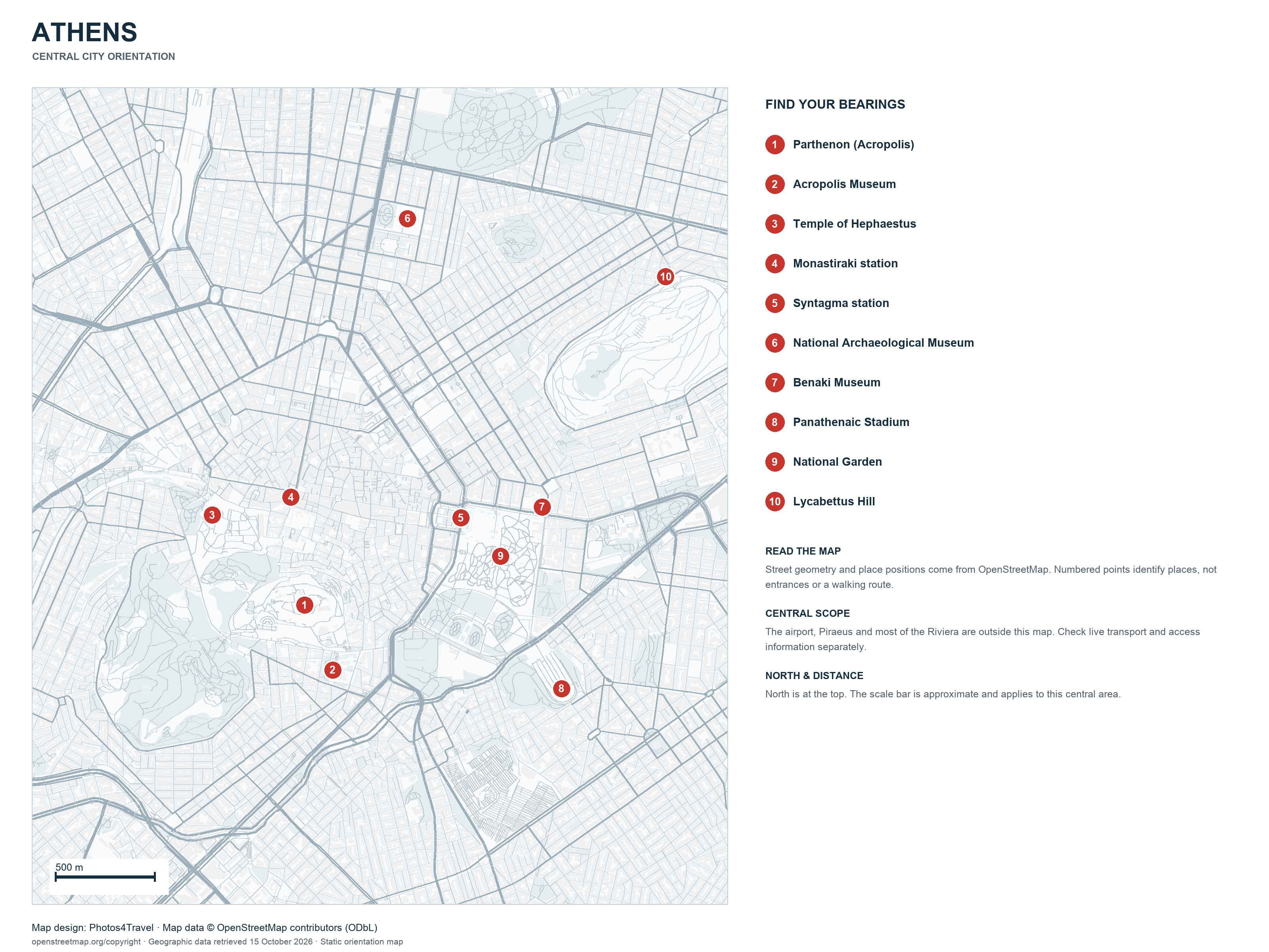
Open full-size map (3200 × 2400)
Use this map to understand the central city before planning individual journeys. It is a static orientation map based on OpenStreetMap geographic data, not a live transport, closure or accessibility display. The numbered places are reference points, not a suggested route or a ranking.
The map covers central Athens. Athens International Airport, Piraeus and most of the Riviera lie outside this frame and require separate journey planning. Open the full-size version to read the smaller detail, and use an up-to-date route planner for the actual trip.
Read the Centre as Several Connected Areas
The Acropolis and its surrounding historic streets occupy one part of a much larger capital. Plaka and Monastiraki are useful names for a historic-centre visit; Syntagma and the museum districts introduce different interests and connections. The north and east of the central frame should not be treated as a few extra steps on every route.
Use the map for relationships and the actual entrance for navigation. A museum, archaeological site or station can have more than one entrance, with very different approaches. Straight-line proximity does not establish a step-free or comfortable walking route.
| Area | A useful reason to visit | Plan the connection |
|---|---|---|
| Acropolis / Plaka | Ancient sites, historic streets and a nearby meal | Entrance, slope and current site access. |
| Monastiraki / Psirri | Markets, shops and evening interests | Busy streets and the route back to your room. |
| Syntagma | Central orientation and transport connections | The actual station exit and road crossing. |
| Koukaki / Makrygianni | The Acropolis Museum side and neighbourhood time | The final walk and the route to your next district. |
| Kolonaki / eastern museums | Collections and a different central atmosphere | Slope and the distance between selected museums. |
| Gazi / Keramikos | Cultural venues and an evening outside the first sightseeing area | The event address and late return. |
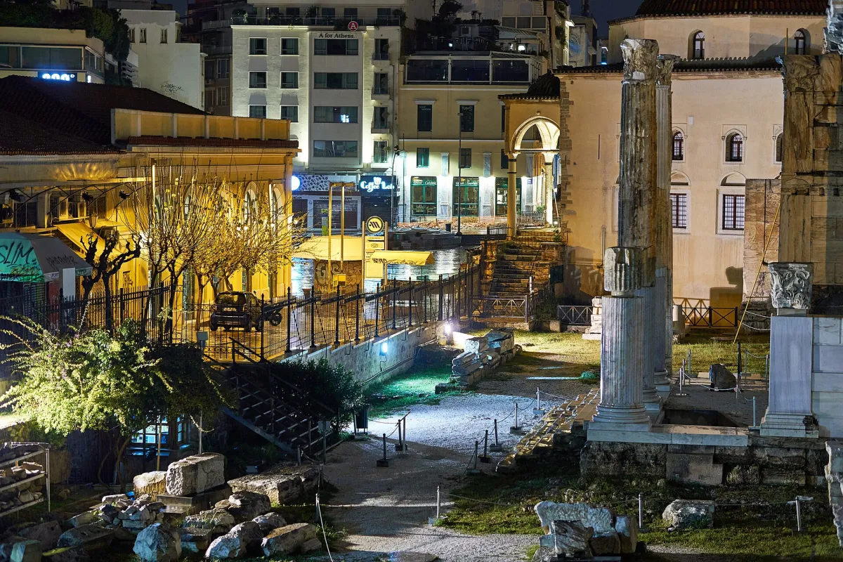

Choose a Walking Cluster before Crossing the City
Put two nearby priorities together and give the journey between them enough time. An Acropolis-area day and a National Archaeological Museum visit do not have to be compressed into the same morning. Use Itineraries to turn the geography into a flexible sequence.
For longer links, compare the useful station or bus stop with the final walk. The closest pin on a map may not be the entrance you need. Getting Around explains how the route and ticket decisions fit together.
A Map Is Not a Hotel Recommendation
A central-looking address can face a noisy street, sit above steps or have an awkward luggage approach. Choose a base for the journeys you will repeat, then ask the property about its entrance and room position.
Where to Stay compares bases and accommodation types. Hotels helps with named properties. The map should support those choices rather than replace their practical checks.
Beyond the Central Map
Piraeus is a port destination with different gates and services, not one point beside the historic centre. The Riviera contains several coastal areas with different journeys. ATH is the airport; a city map should not imply that it is within the central walking circuit.
Continue with Airports & Transfers, Beaches Near Athens or Day Trips for those journeys. For access, use route-specific information and the operator’s current guidance.
Plan with Official Information
Details checked on 15 October 2026. Recheck schedules, entry arrangements and operating conditions before travelling.