
FRANCE · PARIS GUIDE
Paris Map & Neighbourhoods
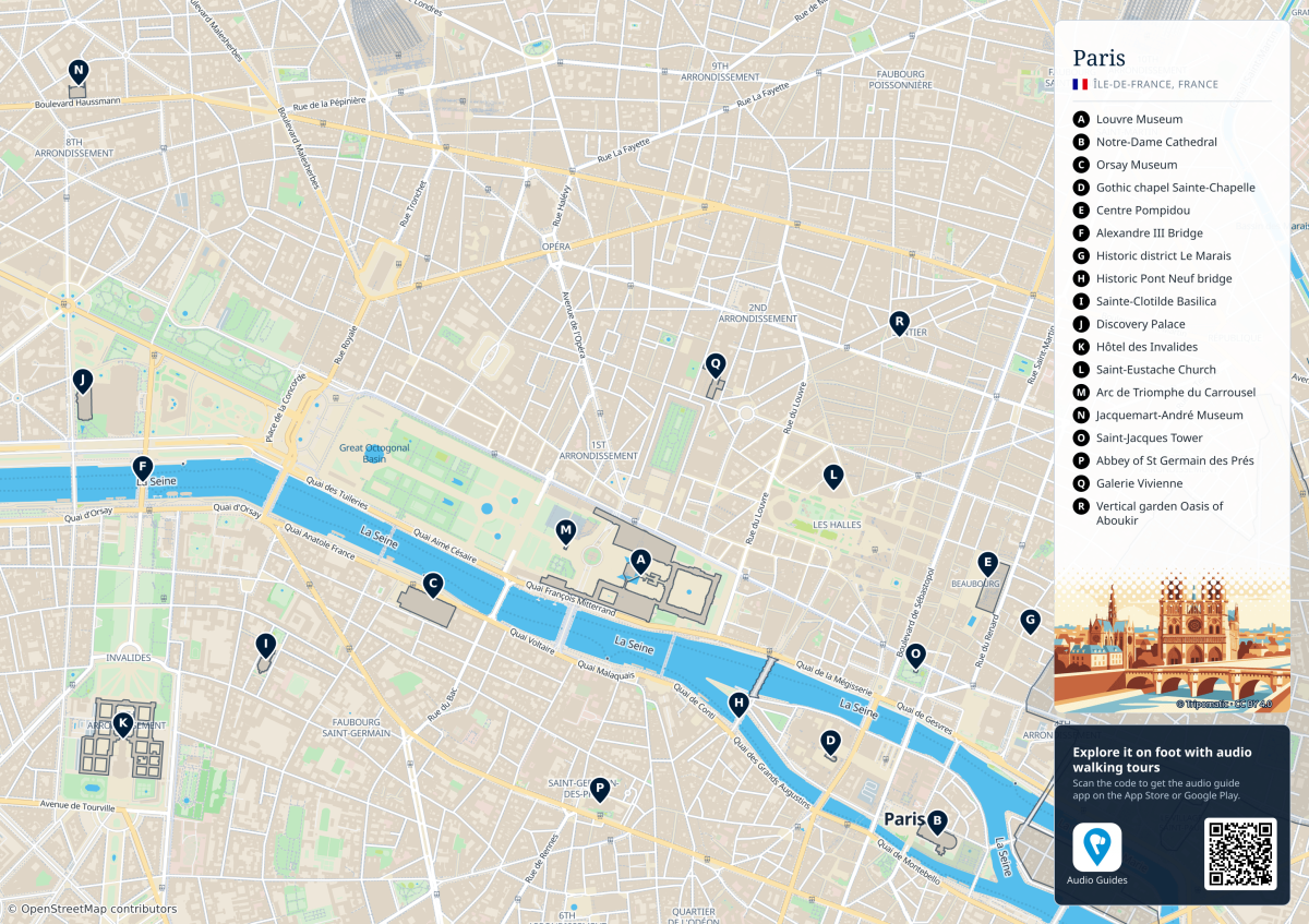
Use this geographic map to understand the relationship between central sights and the Seine, then check live transport separately. It is a static tourist map by Tripomatic using OpenStreetMap data. It does not show current closures, lift availability, traffic, every street or all of Greater Paris.
Important map limitations: the printed Centre Pompidou marker is a location, not a claim that its Beaubourg building is open. That building is closed for its 2025–2030 transformation; use the institution’s current programme for off-site events. The Discovery Palace marker also needs a current programme check: the Palais de la découverte lists special openings and a fuller reopening in 2027. Map symbols should never replace a venue calendar.
Start with the river and the address
The Right Bank is north of the Seine and the Left Bank south of it through central Paris. Île de la Cité and Île Saint-Louis sit in the river. Arrondissement numbers describe administrative districts; familiar neighbourhood names can cross those boundaries. Read the complete street address and postcode when comparing a hotel, restaurant or entrance.
The map covers the dense central sightseeing area. Montmartre lies farther north, La Villette farther northeast, and airports and Versailles lie outside this central planning frame. A hotel advertised with a famous landmark name may be much farther from the landmark than the map suggests if you search only the district name.
| Area | Useful pairing | Route constraint |
|---|---|---|
| Eiffel Tower / western Seine | Tower visit, river views and Invalides area | A long river walk is optional; choose transport before fatigue builds. |
| Louvre / Palais-Royal | One museum booking and gardens or passages nearby | The Louvre’s visitor entrance is a specific appointment, not the whole palace. |
| Île de la Cité / Latin Quarter | Cathedral or Sainte-Chapelle and a Left Bank walk | Security entrances and bridge crossings add time. |
| Le Marais | Place des Vosges, small streets and shopping | Older pavements and busy lanes can slow progress. |
| Montmartre | Sacré-Cœur and a separate neighbourhood half-day | Slopes and stairs require a deliberate mobility plan. |
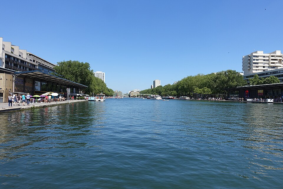
| Canal / La Villette | Locks, waterside walks or a booked family activity | The areas stretch across a substantial distance. |
Choose a base for the journeys you will repeat
A neighbourhood is useful when it reduces the journeys you need most, including your first arrival and final departure. For museums around the Louvre, a central Right Bank base can reduce daily transfers. For the Latin Quarter and Luxembourg, a Left Bank location changes which walks are easiest. A Montmartre stay works best when the hill is part of the trip’s appeal and its terrain suits you.
Compare two actual hotel addresses against a typical morning and evening route. Check the station entrance, the interchange and the last walk, not just the distance to a station symbol. The Where to Stay guide gives the trade-offs; Hotels compares named properties.
Use the map with an accessible route plan
A short line on a map can conceal steps, a steep ramp, cobbles or a difficult crossing. Use street-level route information and venue access instructions. Canal footbridges and Montmartre shortcuts are particularly worth checking. Paris Metro lines do not share one universal step-free standard; verify the actual stations and working lifts with the operator.
At 390 px the preview is for orientation; open the high-resolution file to zoom into street names. Save it before leaving Wi-Fi, and keep the current transport information alongside it. For an excursion beyond the map, use Day Trips and the destination’s own map.
What to check before following a route
- The attraction’s entrance and current opening calendar.
- Actual walking time, rest stops and your return connection.
- Road, bridge, garden or riverbank restrictions.
- Weather and daylight for the outdoor parts.
- Access requirements at every transfer, rather than only the destination.


.jpg)