Florida · Health and safety
Florida Travel Safety: Weather, Beaches, Wildlife and Local Help
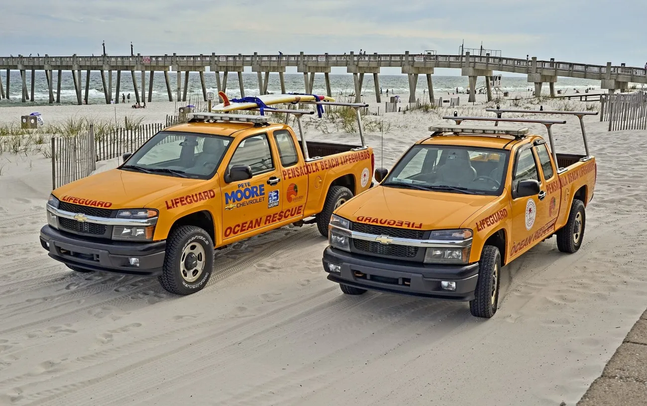
Florida safety decisions are local. The forecast for an airport, a water-quality result from another beach and a reassuring hotel message each answer only part of the question. Before an outing, identify the county, beach access, park entrance or departure point you will actually use. Then check the authority responsible for that place.
This guide concentrates on Florida's weather, water, wildlife and access conditions. For the wider arrangements around health care and insurance in the United States, use the USA safety guide. For choosing a month rather than responding to today's conditions, use Florida weather and seasons.
Check official information for the place you are visiting
Use the county, beach and park you will actually visit
Save the county name beside each accommodation address. Orlando-area stays can involve different jurisdictions, and an island resort may be far from the city in its promotional description. A warning for one part of a county is not necessarily a description of every other part. Open the underlying notice, including its map, time and affected area.
Swipe or scroll horizontally to compare all columns.
| Question | Primary source | Use it for | It does not replace |
|---|---|---|---|
| Could tropical weather affect the route? | NHC and local NWS forecasts | Current forecast, warnings and affected areas | County evacuation instructions |
| Does my accommodation area have an evacuation instruction? | County emergency management through Florida Disaster | Local orders, zones and assistance information | The hotel's own operational notice |
| What is happening at this beach? | Local beach patrol/lifeguard and NWS beach forecast | Flags, surf and rip-current conditions | Water-quality or algal-bloom advisories |
| Is there a water-quality advisory? | Florida Department of Health county beach results | The named sampling site and its advisory | A guarantee about waves or currents |
| Is red tide being monitored nearby? | FWC and Florida health authorities | Sampling location, date and health notices | All other beach-condition checks |
| Can I reach the activity? | FL511, the road authority and the park/operator | Closures, access and service changes | Your final return arrangement |
The Florida Division of Emergency Management's county directory is a useful starting point. AlertFlorida links local alert services; choose the places on your trip rather than following only the first city where you land. Keep the original source bookmarked so that a forwarded screenshot does not become your only information.
If a tropical storm could affect your trip
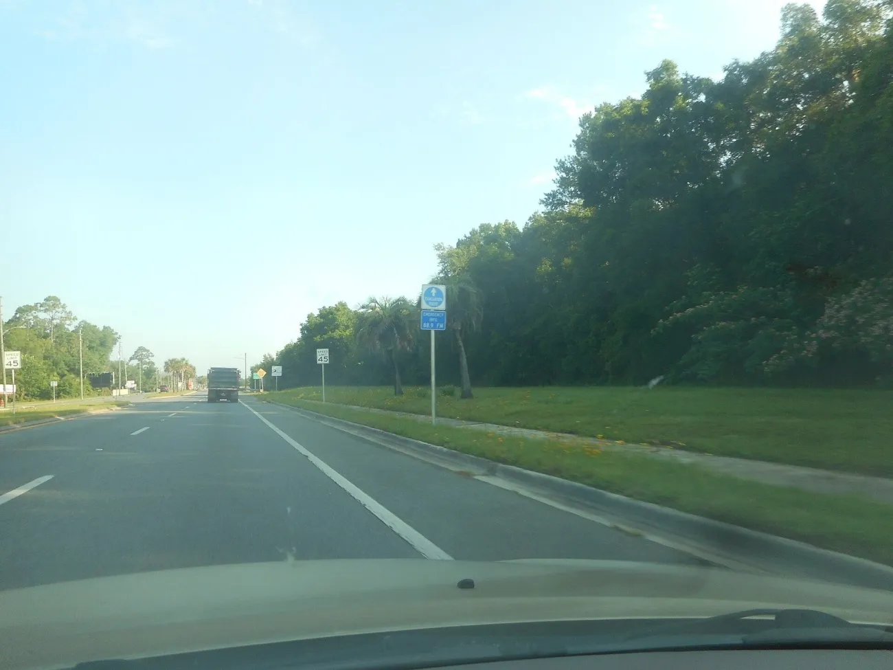
Follow local notices, not just a storm track
The official Atlantic hurricane season is 1 June–30 November, but a season date is not a forecast. If a tropical system could affect your visit, read the current NHC/NWS information and the instructions of the relevant county. A map showing a storm's centre is not a complete description of local impacts or access.
Use the actual accommodation address in Florida's Know Your Zone map, then ask the property about its plans. Florida Disaster directs people to follow local evacuation orders. A visitor should not decide whether an unfamiliar building is suitable shelter from a room photograph, a floor number or an assumption that a large hotel must stay open.
Make the logistics concrete: who is travelling together, whether you have a vehicle, where your documents are, and which onward booking would need changing. If you need help with mobility, communication or transport, raise that with the accommodation and county service before a disruption narrows the options. Follow their current instructions on where to go and when.
Check the hotel, onward route and booking terms
Ask separately whether the hotel is operating, whether the route is open and whether the attraction or tour is running. An open airport does not prove that the road to an island hotel is usable; an open hotel does not prove that its beach or ferry is available. Keep a record of the operator's notice and the conditions attached to your booking.
Refunds, changes and insurance cover depend on the actual product and terms. Contact the provider rather than assuming that one cancellation automatically releases every other booking. The transport guide helps identify the separate legs of a journey that need checking.
Plan outdoor time around heat and lightning
Know where to find local heat and storm alerts
Consult the NWS forecast for your location before a long outdoor day. A comfortable hotel lobby can make the conditions outside easy to underestimate. A park queue, exposed boardwalk, boat departure and walk back across a car park add up; leave time to slow the day down.
NWS heat guidance advises reducing or rescheduling strenuous activity to cooler periods, taking cooling breaks and staying informed. In practical trip terms, avoid treating a long midday outdoor visit as the unavoidable bridge between two timed bookings. Keep access to water and cooling facilities in the plan. If personal health circumstances affect how you should manage heat, seek individual advice rather than relying on a generic packing list.
Never leave a child or pet unattended in a parked vehicle. The NWS heat-safety page emphasises that a vehicle is not a safe waiting place for them, including outside the hottest summer months.
Know the shelter options before an outdoor activity
NWS lightning guidance says to move promptly into a substantial building or an enclosed metal-topped vehicle when thunder is heard, and to remain in suitable shelter for at least 30 minutes after the last thunder. A beach umbrella, open pavilion or isolated tree is not the same thing.
Before going onto an exposed beach, boardwalk or golf course, identify where you could actually get indoors. Follow a park's or pool's closure instruction even if the rain is still distant. A restart announcement belongs to the operator; do not turn the 30-minute guidance into a guarantee that every activity reopens at that moment.
Separate surf warnings from water-quality reports
Beach flags, rip currents and lifeguard information
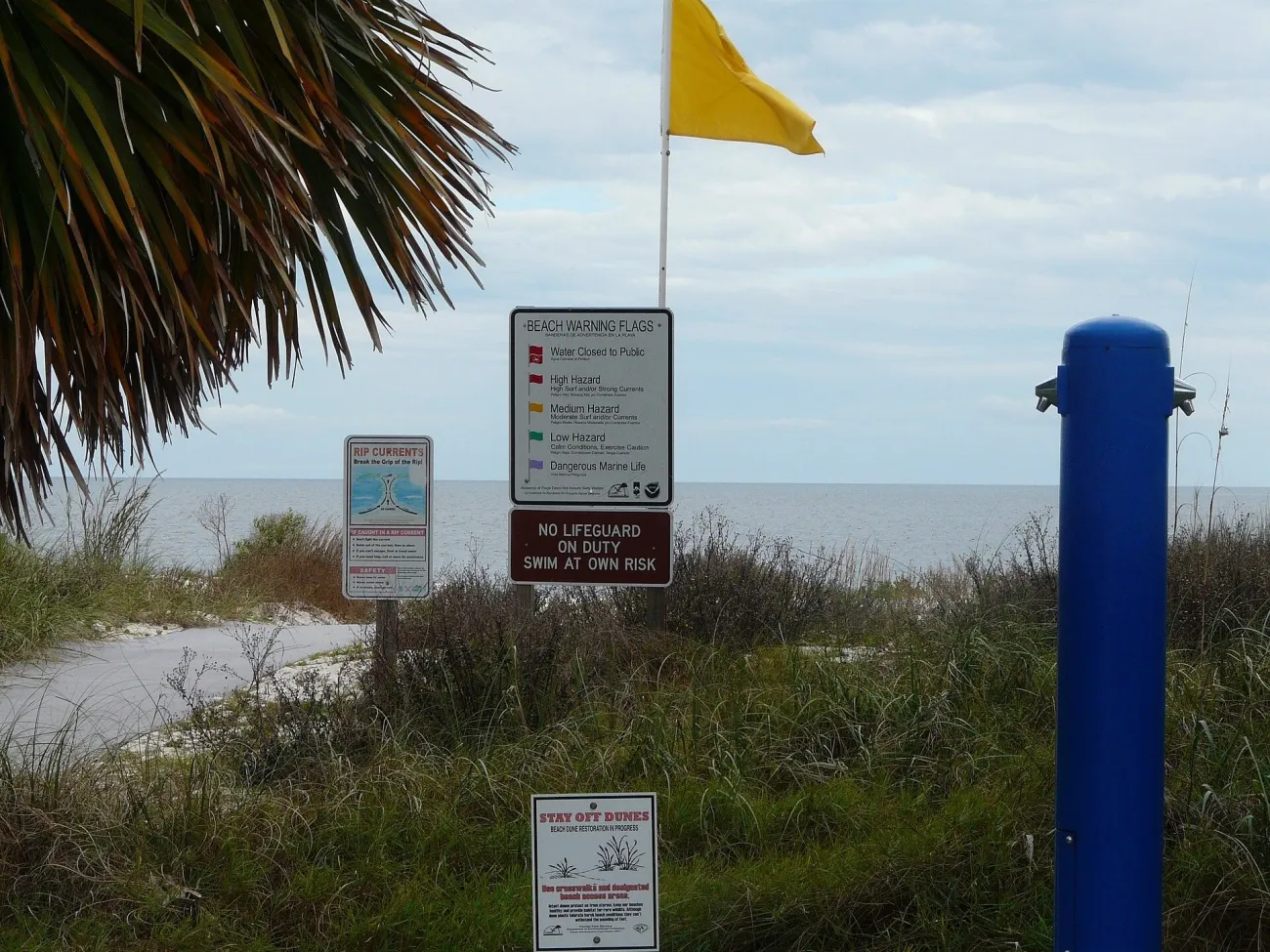
The NWS rip-current guidance advises checking the local beach forecast, speaking with a lifeguard and swimming at lifeguarded beaches. It also warns that a sunny, calm-looking beach can still have dangerous currents. Choose the actual supervised swimming area, read its posted flag legend and follow local beach patrol instructions.
Do not assume that “family beach”, shallow-looking water or a sheltered photograph establishes suitable conditions today. A child playing at the water's edge still needs close supervision. If an access point has no lifeguard, that is a practical difference from one with a staffed swimming area, even when both appear in a beach guide.
Healthy Beaches advisories
The Florida Department of Health's Healthy Beaches programme publishes county sampling results and advisories for named sites. Look at the site, sample date and current advisory rather than treating a coloured map dot as an unlimited guarantee. Sampling is a record from a particular place and time; the programme is separate from surf forecasting.
Red tide and other harmful algal blooms
FWC's red-tide status page has a dated report and a map with individual sample details. Read those details and the associated health notices. Do not describe an entire coast as clear or affected from one sample, and do not use a bacteria result to answer a red-tide question.
The same page points to Florida DEP information for blue-green algal blooms. Conditions in a lake, river mouth and open beach need their own sources. Follow official advisories and choose an alternative activity if the intended water outing is unsuitable; a different beach photo is not evidence that a nearby location is appropriate.
Swipe or scroll horizontally to compare all columns.
| Check | What it concerns | What to read | Separate check still needed |
|---|---|---|---|
| Surf, currents and flags | Physical water conditions and local swimming instructions | NWS beach forecast, posted signs and lifeguard advice | Bacteria and algal-bloom notices |
| Healthy Beaches | Bacterial indicator sampling and advisories | Named county site, sample date and advisory | Waves, currents, staffing and weather |
| Red tide / harmful algal blooms | Specific monitored blooms and related notices | FWC/DEP sampling and Florida health guidance | Other water-quality and surf conditions |
For comparing beach character, facilities and access, return to the Florida beaches guide. Its purpose is choosing a place; the final swimming decision uses current local information.
Respect wildlife and the rules at parks and springs
Alligators, freshwater edges and posted restrictions
FWC's alligator guidance is straightforward: do not feed alligators, keep your distance, use designated swimming areas during daylight and keep pets leashed and away from the water. A hotel pond, canal edge or undeveloped lake is not an alternative swimming area simply because no animal is visible.
On a trail or boardwalk, stay on the permitted route and leave room around wildlife. Move away rather than trying to turn an encounter into a closer photograph. The Everglades guide separates the main park areas; the rules and conditions of the actual site still govern the visit.
Manatees, marine wildlife and guided water activities
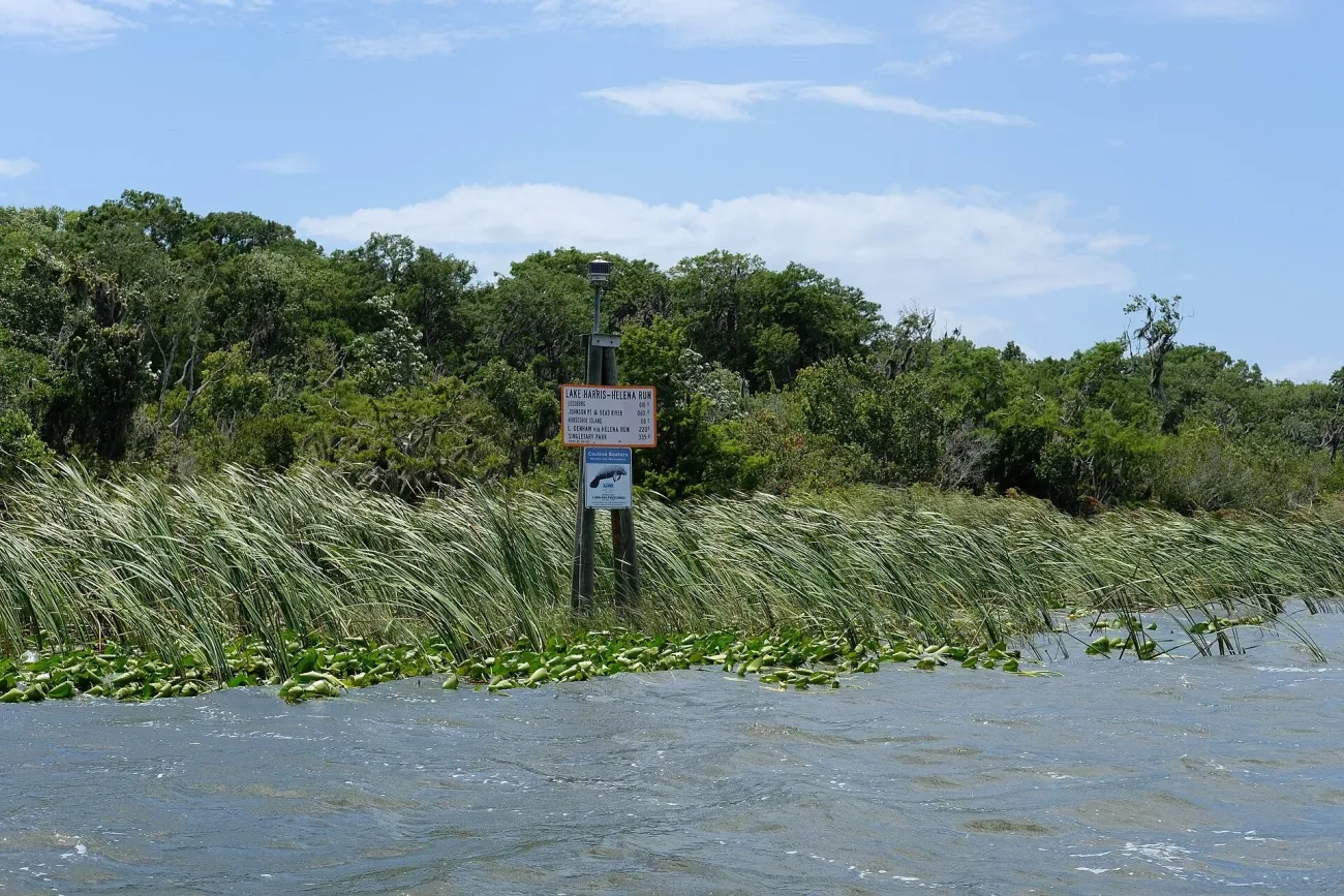
FWC's manatee viewing guidance calls for passive observation: no touching, feeding, chasing or separating animals. Do not enter a marked manatee refuge. A guided outing is not permission to ignore those boundaries, and a promising winter period is not a guaranteed encounter.
Before a boat, paddle or snorkel trip, establish the meeting point, required equipment, operator's weather decision and return arrangement. Check the Keys guide for island logistics. Ask about the features you need, including boarding access, before making a non-refundable commitment.
Check road conditions and access after severe weather
Road closures and disrupted connections
FL511 displays closures, incidents, traffic conditions and road-weather information. Check the route you intend to drive, then follow posted road instructions and the responsible authority's notices. A normal map travel time is not an assurance that the road remains open after severe weather.
Recheck the final approach to an island, park entrance or remote departure point. Where the trip depends on a return ride, arrange it explicitly. NPS warns that visitors arriving at remote Everglades entrances by an on-demand service can struggle to obtain a return; successful drop-off is not evidence of reliable pickup.
Park and beach access may change separately
Use Everglades alerts and conditions for the park, Florida State Parks storm updates for state properties, and the relevant county or operator for beaches and facilities. A closed boardwalk and an open visitor centre can coexist. Read the specific restriction rather than relying on the general word “open”.
Find emergency help and useful local contacts
Emergency and non-emergency needs
For an emergency requiring police, fire or ambulance assistance, call 911. Be ready to give your location, callback number and what has happened, and follow the call-taker's instructions. Keep the street address, park entrance or other location detail available; a promotional resort name alone may be less useful.
Swipe or scroll horizontally to compare all columns.
| Need | Contact | Use | Limit |
|---|---|---|---|
| Immediate emergency | 911 | Police, fire or ambulance emergency | Information websites do not dispatch help |
| Local storm/evacuation information | Florida Disaster county directory and AlertFlorida | Find the relevant county service and notices | Use the authority for your actual location |
| Everglades visitor information | +1 305-242-7700 | NPS park information | Not a substitute for 911 |
| Concern about an alligator | FWC: 866-392-4286 | Nuisance-alligator reporting | Keep away; do not attempt to handle the animal |
| Recorded red-tide information | FWC: 866-300-9399 | Statewide recorded status information | Not a live medical or emergency service |
Save contacts for your bases and activities
Keep your accommodation's direct number and each tour's operating-day contact alongside the booking. Confirm that your phone service supports voice calls where needed; a data connection and a usable telephone service are different arrangements. For general US travel preparations, use the USA guide rather than an old statewide list of consular addresses.
The official sources linked here were checked on 11 November 2026. They are routes to current information, not a declaration that every Florida beach, road or park is operating normally today.
Florida Health and Safety FAQ
Where should I check current warnings before travelling in Florida?
Use NHC/NWS for weather information, your county emergency-management service for local instructions, and the park, beach authority or operator for the particular activity. Bookmark the sources for every overnight base on a multi-region trip.
Does a calm-looking beach mean it is safe to swim?
No. NWS notes that rip currents can occur on sunny, apparently calm days. Check the local beach forecast, posted instructions and lifeguard advice, and use a supervised swimming area.
Are red tide reports the same as beach water-quality advisories?
No. FWC red-tide monitoring concerns algal blooms; Florida Healthy Beaches reports bacterial indicators and related advisories. Both are separate from surf and rip-current information.
What should visitors check if a storm may affect their hotel or route?
Check the local county's instructions, the accommodation's operational notice and every necessary transport leg. Use the actual address for evacuation-zone information and follow official orders. Then review the terms of any booking that may need changing.
Where can I find local emergency information for my Florida base?
The Florida Disaster county directory and AlertFlorida are starting points for local services. Save the accommodation address and direct number before travelling. For an immediate police, fire or ambulance emergency, call 911.