
Sign in
For Photos4Travel editors and team members.
Jamaica · Walking & National Parks
Walking in Jamaica: Blue Mountains, Nature Trails and Access
Walking in Jamaica ranges from a short forest outing to a serious mountain day with a very early start. The difference is larger than a trail name on a list suggests. Road access, starting point, weather, fitness and the return journey all matter. Choose the kind of walk you want before deciding which part of the island to stay in.
The Blue and John Crow Mountains combine natural and cultural heritage, but current access needs its own check. Repairs after Melissa have affected roads, trails and visitor facilities. Contact the park manager, JCDT, about the route and facilities you intend to use; an older trail description is useful for understanding terrain, not proof that the route is open today.
Confirm access before arranging the mountain stay
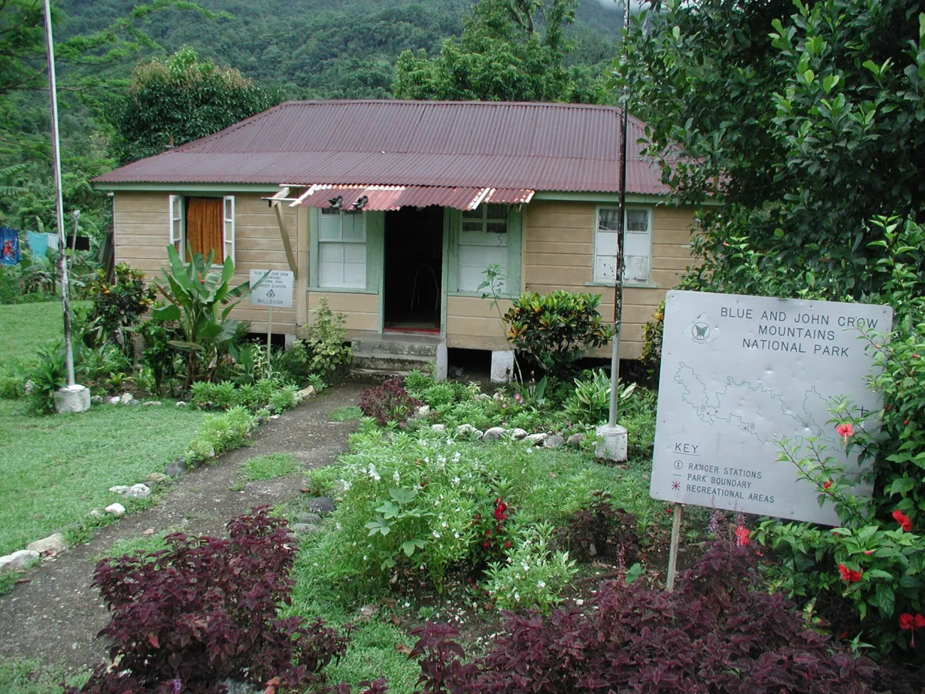
Photo: Blue Mountain - John Crow Mountain Ranger Station — Michael L. Dorn from Kansas City, Missouri, United States of America · CC BY-SA 2.0 · Resized.

A 3 October 2026 government report describes restoration support following damage to the park’s trails and facilities. It does not establish a completed reopening date for every route. Ask JCDT specifically about the road to your proposed start, the trail itself, cabins or camping and the availability of staff or guides.
Give the date, group size and intended walk when you enquire. A request asking whether the Blue Mountains are open can produce an answer too general to plan from. A short Holywell visit and a Peak attempt may depend on different roads and services. Confirm how you will return if weather changes or someone turns around earlier than expected.
Build the booking in that order: confirmed access, suitable local accommodation or pickup, then the guided walk. Do not pay for a distant hotel solely because an old itinerary describes a convenient summit excursion. Keep a city or lower-elevation alternative for the same day, so a closure does not leave the trip dependent on finding another mountain route at short notice.
Holywell: choose a named trail and a realistic pace
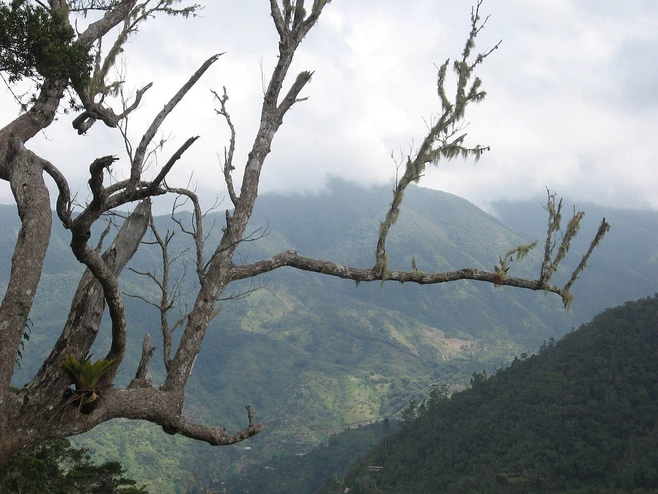
Photo: Wolmadrian · Public domain · Resized.

Holywell is the park’s better-known starting point for shorter nature walks. The manager’s published trail descriptions distinguish the short Blue Mahoe connection from the 1.2 km Oatley Mountain route and steeper alternatives. Those pages predate Melissa, so use the distances to discuss a suitable outing with the manager rather than as a current access guarantee.
If Oatley is confirmed accessible, plan it as a forest walk with stops, not a race against a printed completion time. The published descriptions give roughly an hour to an hour and a half in different contexts; group pace, wet ground and time at viewpoints explain why a single minute estimate is unhelpful. Ask about the current surface and ascent before bringing someone with limited mobility.
For a lighter outing, ask which short section is currently suitable near the visitor and picnic areas. Pair it with time to listen for birds and observe ferns and forest textures. Pack a layer and rain protection even if the coast is hot. A short walk enjoyed comfortably is a worthwhile visit without adding a second trail merely to fill the afternoon.
Blue Mountain Peak: the starting point changes the hike
Blue Mountain Peak reaches about 2,256 m. The figure describes the summit, not the vertical climb from every possible start. The park manager’s material describes a 5.6 km final ascent from Portland Gap, while longer approaches begin lower down. Ask for the complete route from your actual pickup or accommodation, including the descent, rather than quoting only the final section.
A 5.6 km ascent is not a 5.6 km round trip. Returning to Portland Gap makes that portion about 11.2 km, before any approach from a lower start. A guide may describe a substantially longer outing when road conditions require walking from farther down. Confirm the full distance, elevation changes, likely duration and turnaround arrangement with the operator responsible for the trip.
A summit sunrise attempt involves walking in darkness, often after limited sleep, with colder and wetter conditions than a beach visitor may expect. Bring a working headlamp, spare power, suitable footwear, layers, water and food in the quantities agreed with the guide. Sunrise and a clear view are weather-dependent. Choose the mountain for the walk itself, not a guaranteed photograph from the top.
Walk for the forest and understand the heritage
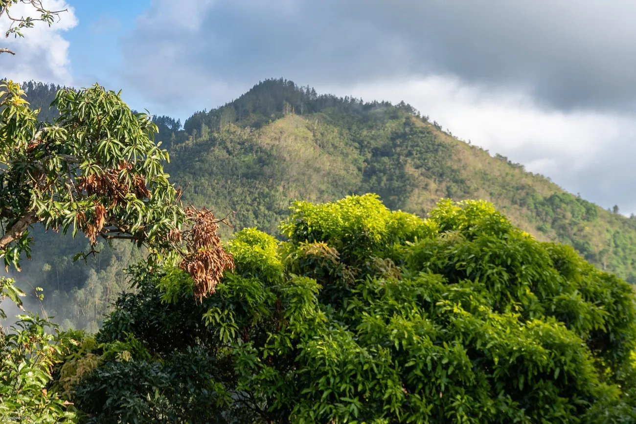
Photo: xiquinhosilva · CC BY 4.0 · Resized.

The UNESCO World Heritage listing recognizes both the mountain environment and its cultural importance, including Maroon heritage. This is more than a scenic backdrop. A knowledgeable local guide can explain the relationship between trails, forest, communities and resistance in a way that a rapid summit ascent may miss.
Choose a guided outing that matches your interests. Birdwatching involves patience and a different pace from a summit walk; plant observation rewards daylight and time for detail. Tell the guide if photography is important, but do not make wildlife handling or disturbance a condition of the tour. Keep to permitted routes and follow the manager’s current restrictions.
Community visits need their own arrangements and consent. A historical route on a map is not permission to enter a residential or sacred place. Ask which experiences welcome visitors and what contribution or guide arrangement is appropriate. Avoid turning heritage into a checklist of photographs, especially where people are working or recovering their own homes and facilities.
Shorter nature alternatives outside a summit itinerary
A traveler based on the north coast can choose a more local garden or managed nature visit instead of adding a cross-island mountain transfer. The actual attraction should be selected for current access, surfaces and the interests of the group. A garden walk, waterfall climb and birdwatching visit have different physical demands even when all are sold as nature experiences.
Rocklands Bird Sanctuary is an example where the distinction matters: its operator describes visitor activity while stating that its walking trails are currently closed. Do not turn the existence of an open visitor experience into a claim that a trail walk is available. Ask the operator what the visit includes and whether its arrangement fits your expectations before booking.
A waterfall activity is also not automatically an easy walk. Wet rock, moving water, steps and group pace can make it unsuitable for some visitors. Ask about an observation alternative, changing facilities and the return route. The Things to Do guide compares selected experiences; choose the physical format rather than relying on a photograph of the destination.
Weather, equipment and turning back
Check the local forecast and the guide’s current advice close to the walk. Heavy rain can affect a road, river crossing or trail even when the accommodation area appears fine. A mountain forecast deserves its own attention; coastal sunshine does not settle the conditions higher up. Respect a cancellation or turnaround based on local conditions.
Use shoes with appropriate grip, a pack that keeps essentials dry and clothing that remains useful when wet. Protect a phone and offline contact information, but do not rely on the phone as the only light source. For a longer walk, agree water and food needs in advance. Check what the operator supplies so essential equipment is not assumed to be included.
Set the pace for the least comfortable member of the group and agree a turnaround point before fatigue becomes a problem. Tell the guide about relevant limitations privately and honestly. Insurance needs to cover the actual activity and any evacuation arrangements. Individual health and fitness questions belong with a qualified professional familiar with your circumstances.
A simple way to plan the walking day
For a confirmed short Holywell outing, spend the previous night where pickup is straightforward, eat before leaving and carry rain protection. Start with the named route agreed with the manager or guide, pause at permitted viewpoints and leave time for the road back. Avoid scheduling an inflexible dinner or distant transfer immediately afterward.
For a Peak attempt, allow a dedicated mountain segment with the start, sleeping arrangements and descent agreed in detail. Ask what happens if the road becomes unusable, a cabin is unavailable or the group turns back. A cheaper package that omits those arrangements may leave important responsibilities with you. Compare the complete itinerary before the price.
If access is uncertain, keep the trip satisfying without the summit: a Kingston museum day, a confirmed coffee visit or a shorter permitted nature experience can stand on its own. Use Itineraries to place the walking segment among the overnight bases and Responsible Travel for choices that support the places you are visiting.
Walking & National Parks questions
Is Blue Mountain Peak a day trip from every beach resort?
No. Its access roads, actual starting point, physical load and return journey require dedicated planning. A distant coastal base can add a substantial transfer before the walking begins.
How far is the Blue Mountain Peak hike?
The manager describes a 5.6 km final ascent from Portland Gap, about 11.2 km out and back for that portion. Lower starting points add distance; confirm the complete route and current access with the guide.
Are Holywell trails open now?
Current access must be confirmed with JCDT for the particular date and trail. Published route descriptions predate recent damage and do not establish today’s operational status.
What if I only want a gentle nature walk?
Ask about a currently accessible short route with a suitable surface and minimal ascent. Gardens or managed visitor experiences may fit better than a summit trek, but verify their specific facilities and restrictions.
Last updated: