
HUNGARY · BUDAPEST GUIDE
Chain Bridge Budapest: Photo & Viewpoint Guide
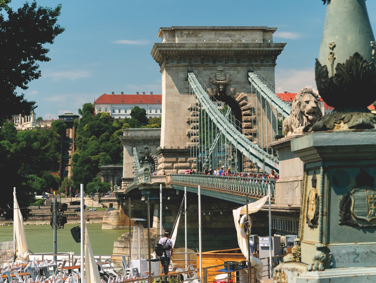
The frame places the Chain Bridge’s structure against the city beyond it. Its masonry, suspension elements and river crossing create strong lines, so the composition can work without trying to include every nearby landmark. Look at the visual relationship between the bridge approach and the span before choosing a wider skyline view.
Read this photograph
The source and license are linked in the caption. The image is used as visual evidence of its recorded scene, with an editorial interpretation supplied here. It is not presented as our own visit or as proof of today’s weather, opening hours or access.
Choose the bank according to the background you want: the Buda side and the Pest side give different combinations of buildings and bridge lines. Soft morning or late-day light can reveal stone texture; a flat overcast sky can simplify the structure. The source image records one moment and does not establish the present traffic or pedestrian arrangement.
Composition and light
Keep vertical masonry reasonably controlled by stepping back where safe rather than tilting sharply upward. Decide whether pedestrians belong as scale or whether waiting briefly produces a cleaner frame. A longer exposure can blur movement, but it is not worth blocking the pavement to obtain it.
Access and a responsible approach
Use the designated pedestrian route and obey current signs. Do not step into the carriageway or cycle movement for symmetry. Construction, events and crowding can change access, and the camera position in an older photograph is not a permission to stand there today.
Put the photograph into a visit
Combine the bridge with a same-bank walk before or after crossing. The city map helps choose the correct approach, while the main Photos & Photo Spots route explains how to sequence river views without unnecessary backtracking.
Continue with Photos & Photo Spots, Map & Neighbourhoods and Attractions for the appropriate planning task.
Sources & planning updates
Practical information checked on 16 October 2026. Recheck opening times, temporary closures and the conditions for your travel date with the relevant operator.