
Sign in
For Photos4Travel editors and team members.
France Map & Regions: Choose Your Travel Geography
Plan your France trip: Where to go · When to visit · Where to stay · Getting around · Visa & entry · Safety

Understanding the map of France helps you choose a coherent trip, but distance alone does not establish a workable route. Rail corridors, mountain valleys, peninsulas and the location of stations all affect travel. This page explains the geography useful to visitors and links to the official tourism board’s interactive destination map. Its scope is metropolitan France, including Corsica. The region names used for trip planning can differ from administrative boundaries; check the precise town and transport connection before combining places.
Paris and the northern connections
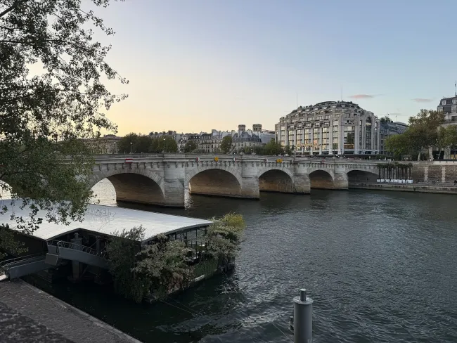
Paris is in the north-central part of metropolitan France and often serves as an international arrival point. Its rail network connects with many major cities, but the capital has several departure stations. A route through Paris may involve changing across the city rather than stepping onto another platform. Check the complete connection before treating the capital as a frictionless interchange. Lille and other northern bases can also be useful depending on the direction of your international journey.
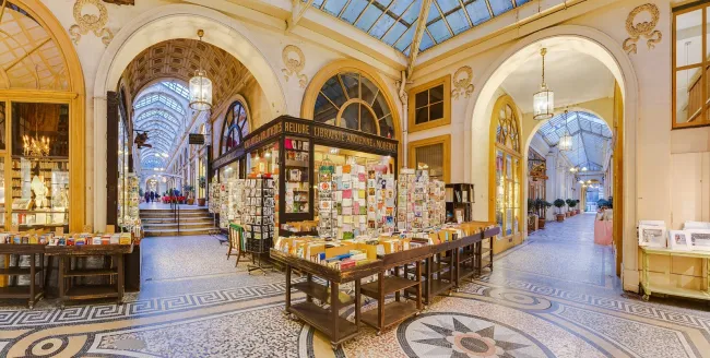
For a first trip, decide whether Paris is the main stay or simply the starting point. If it is central to your interests, give it enough nights to support museums and neighbourhood walks. If you mainly want countryside or coast, a long compulsory Paris stay may not help. The country map shows broad directions, while the transport page explains station and transfer decisions. Use both before fixing the number of places you will visit.
Normandy and Brittany in the northwest
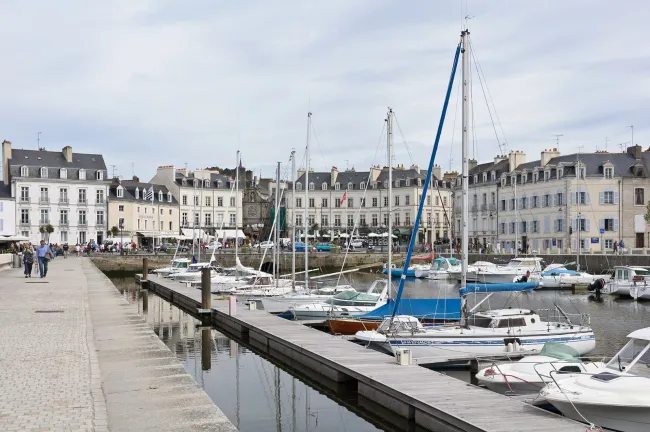
Normandy lies along part of the Channel coast and combines regional cities, rural landscapes and places associated with wartime remembrance. Rouen, Bayeux and coastal towns serve different travel needs. Brittany extends farther west, with peninsulas, port towns and islands that can make a short straight-line distance misleading. A route that changes from one end of the coast to the other each day can involve much more travel than a settled stay.
Choose a particular area and a base that suits the places you will visit most often. Mont Saint-Michel and Saint-Malo can form part of a northwest trip, but the final connections and overnight choices still need checking. Tides and exposed weather affect coastal plans independently of road distance. If visiting an island, the boat timetable is part of the geography you must plan around. A mainland base can provide more flexibility, while an island stay may be rewarding when you genuinely want time there rather than a rapid photo stop.
The Loire and the western interior

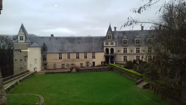
The Loire Valley is useful to understand as a broad river landscape rather than one compact attraction zone. Tours and Blois are different starting points, and individual châteaux can sit beyond convenient station access. A trip based on estates, gardens and cycling should focus on a manageable section. The château you most want to visit may determine the better base more than a generic label such as Loire Valley accommodation.
Further west, cities and Atlantic coastal areas have their own connections and travel patterns. Do not assume a river itinerary and a seaside trip combine without another meaningful transfer. When cycling, a mapped river route still needs distances, surfaces and bicycle-carriage checks. For a car itinerary, count the approach to each estate and time for parking rather than only the road between towns. The itinerary examples show one way to combine Paris and a Loire base without changing rooms for each château.
Bordeaux, the southwest and inland countryside
Bordeaux provides an urban starting point for parts of the southwest, including separately planned wine and coastal outings. The wine region itself is not one small area: Saint-Émilion, Médoc and other locations lead to different directions and transport needs. The Atlantic coast, Basque Country and inland areas such as the Dordogne offer other kinds of holiday. Combining all of them in a brief stay can create a driving circuit that leaves little time in each place.
Choose the activity that matters most, then work outward from a suitable base. A Bordeaux city stay with one wine visit is different from a rural Dordogne holiday or a Basque coastal break. A car may add value in dispersed countryside, while city and rail travel may suit another version of the trip. Check the final connection to a rural property before choosing it on a map. The geographic region helps describe the landscape; the exact address determines the practical arrival.
Eastern France: Alsace, Burgundy and the Rhône corridor
Eastern France includes several contrasting settings. Strasbourg and Colmar are useful names for an Alsace trip, with village and vineyard outings needing local transport planning. Burgundy has its own town and wine geography, with Dijon and Beaune supporting different stays. Lyon sits on an important north-south travel corridor and provides a substantial city visit rather than simply a transfer point. These areas should not be treated as one interchangeable eastern region.
Choose a city-and-countryside balance that suits the group. A vineyard route may require appointments and a driver, while a city stay can be supported by rail and walking. Check the actual connections between regional bases; a pair of places can be geographically close but have an inconvenient service on your date. If crossing into a neighbouring country, account for its transport, driving and entry arrangements as well. A compact map can make borders and distances look simple while hiding the practical details that determine the day.
Provence, the Riviera and mountain geography
Provence’s cities, rural villages and protected coast involve different routes. Avignon and Aix-en-Provence can support urban stays, while a Luberon property may make driving central to the trip. The Riviera has a coastal transport corridor around Nice, but inland villages and remote coves are not automatically served with the same convenience. Check the station or bus stop and the walk from it rather than assuming a seafront name establishes easy access.
The Alps and other mountain areas need attention to valleys, elevation and seasonal operation. A pass may not provide a reliable year-round shortcut, and the weather at a town does not establish conditions on a high route. Choose the actual mountain base and activity before planning transfers. A lift, trailhead or ski lesson can be far from a room advertised under the wider destination name. Keep a lower-level alternative and consult current local guidance. Mountain geography makes a thoughtful smaller route more useful than a line drawn across several scenic names.
Corsica and overseas France require separate planning

Corsica is part of metropolitan France but its island setting changes the journey. Flights and ferries, arrival ports, road conditions and the final trip to accommodation all belong in the plan. Choose the part of the island you want to explore and allow time for it. A daily attempt to reach several distant coasts can make the holiday feel much larger than the map suggests.
French overseas territories are not extensions of a mainland itinerary on the same transport or entry assumptions. Check their own geography, conditions and official requirements if you intend to visit. This country guide does not claim to cover those destinations in detail. For metropolitan travel, use the official map to identify possibilities, then test them with live transport and suitable overnight bases. The base guide and entry guide answer different practical questions. A good map decision is the beginning of planning, not evidence that every connection works.
| Travel area | Example bases | Useful geographic question |
|---|---|---|
| Paris and north | Paris, Lille | Does the next train leave from the same station? |
| Northwest coast | Rouen, Bayeux, Saint-Malo | Which part of the coast will occupy most days? |
| Loire | Tours, Blois | How far are chosen estates from the base? |
| Southwest | Bordeaux or a local rural base | Are the wine, coast and countryside plans in one manageable area? |
| East | Strasbourg, Colmar, Dijon, Beaune | Which town and vineyard cluster suits the trip? |
| South and Riviera | Avignon, Aix-en-Provence, Nice | Is the destination on an urban corridor or a rural route? |
| Mountains and Corsica | A specific valley or island-area base | Which seasonal connection controls access? |
Travel Tip: Choose bases by travel corridors as well as distance. A direct train between two cities can be easier than a much shorter journey requiring several local changes.
Official planning resources
Check the relevant operators and authorities before committing to a date. Practical information was reviewed on 11 October 2026; live timetables, operating conditions and entry rules can change.
Tours, Tickets & Experiences
France Travel Tips & Inspiration