TÜRKİYE · COUNTRY GUIDE
Turkey Fast Facts: Country Profile and Reference
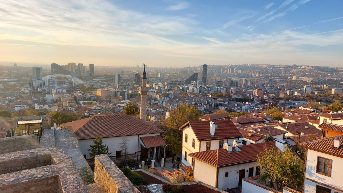
This country reference records Türkiye’s name, geography, population, national identifiers and major gateways. For payment choices, connectivity and daily preparation, use Travel Essentials. For selecting regions and bases, use Map & Regions.
Turkey at a Glance
| Fact | Information |
|---|---|
| Official name | Republic of Türkiye |
| Capital | Ankara |
| Largest city | Istanbul |
| Official language | Turkish |
| Currency | Turkish lira (TRY) |
| Time zone | UTC+3 year-round |
| International calling code | +90 |
| Emergency number | 112 |
| Driving side | Right |
| Common plug types | Type C and Type F |
| Electricity | 230V, 50Hz |
| Internet country code | .tr |
Population and Size
Turkey is a large country in both population and area. Its population was approximately 86.1 million on 31 December 2025, according to TÜİK’s 2025 address-based population results, and its territory covers roughly 780,000 square kilometers. These figures help explain why travel times between major destinations can be substantial.
Istanbul is by far the largest urban area, while Ankara is the political capital. Izmir, Bursa, Antalya, Adana, Konya and several other cities form major regional centers.
Currency Identifier
The national currency is the Turkish lira, with the international code TRY. TL is also used in local price labels. The currency name identifies what an amount is denominated in; it does not provide an exchange rate.
For ATMs, tipping, card use and everyday payment advice, see Turkey Travel Tips.
Language
Turkish is the official language and uses a Latin-based alphabet. English is common in major tourist areas but should not be assumed everywhere. Simple words such as merhaba (hello), teşekkürler (thank you) and lütfen (please) are useful.
Time Zone
Turkey uses UTC+3 throughout the year. Unlike many European countries, it does not switch seasonally between standard time and daylight saving time.
Emergency Number
The integrated emergency number is 112. It is used for urgent assistance such as medical emergencies, fire and police response.
Electricity and Plugs
The standard electricity supply is 230V at 50Hz, with Type C and Type F plugs commonly used. These are national technical identifiers; device compatibility and what to pack are covered in Travel Essentials.
Driving Side
Traffic drives on the right. Distances are given in kilometres and fuel quantities in litres. Vehicle rental terms, licences, insurance and toll arrangements are separate practical subjects covered in the car-rental guide.
Main International Gateways
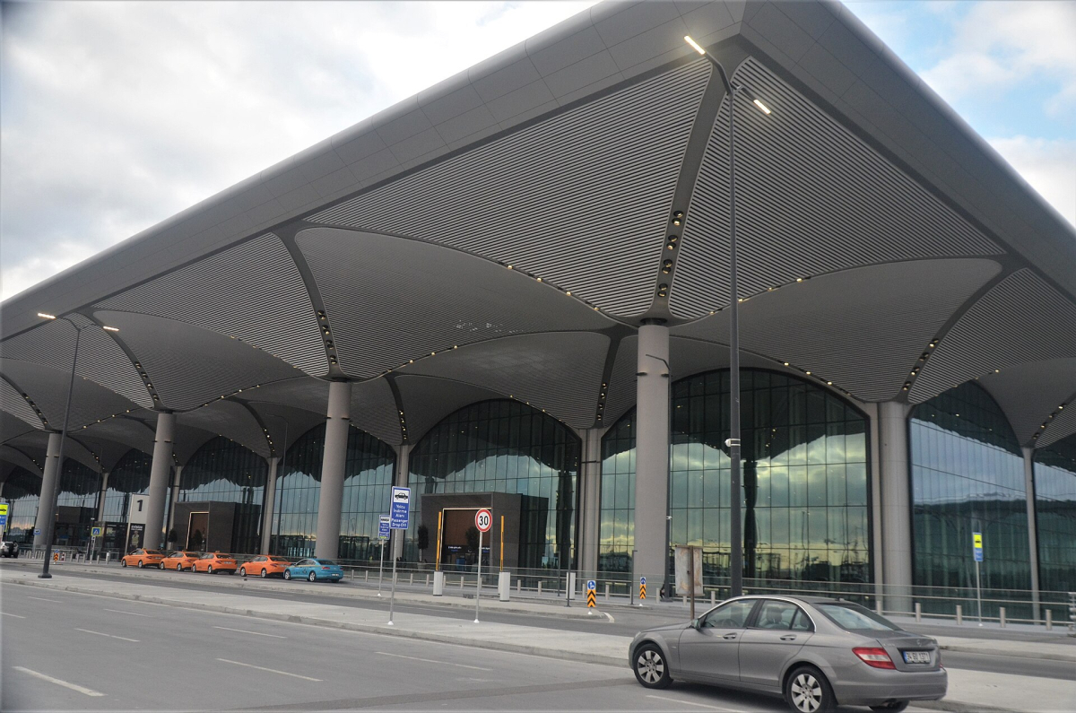
Istanbul Airport (IST) and Istanbul Sabiha Gökçen Airport (SAW) serve the country’s largest city. Antalya Airport (AYT) is a major leisure gateway, while Izmir Adnan Menderes (ADB), Dalaman (DLM) and Milas-Bodrum (BJV) are particularly useful for Aegean and Mediterranean trips. Ankara Esenboğa (ESB) serves the capital.
See Turkey Airports for a fuller guide.
Entry Requirements
Visa and passport rules depend on nationality and travel document type. Some travelers can enter visa-free for short tourism visits, while others may require an e-Visa or consular visa. Requirements can change, so verify them close to departure using official sources and our Turkey Visa & Entry Requirements guide.
Climate
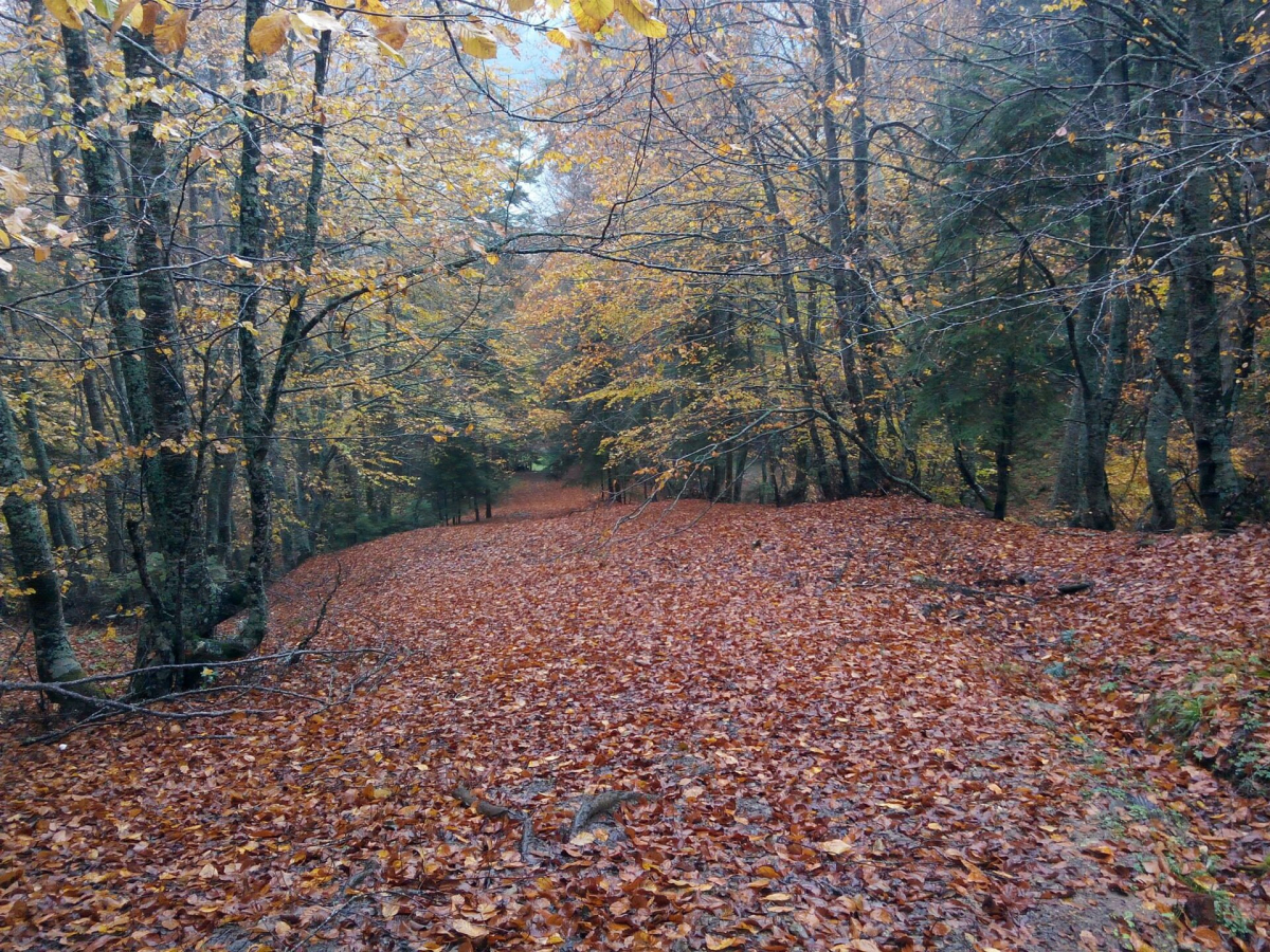
There is no single “Turkey climate.” Mediterranean and Aegean coasts have hot, dry summers and wetter winters, while central Anatolia has stronger seasonal contrasts. The Black Sea is generally wetter, and eastern areas can experience severe winters.
For seasonal planning, see Turkey Weather.
Geographic Position
Turkey sits at the meeting point of southeastern Europe and western Asia. The Bosphorus, Sea of Marmara and Dardanelles form a maritime corridor linking the Black Sea with the Aegean and Mediterranean. For travelers, this position explains why the country combines Balkan, Mediterranean, Caucasian, Anatolian and Middle Eastern influences.
Capital vs. Largest City
Ankara is the capital and center of national government, while Istanbul is the largest city, main tourism gateway and economic center. Visitors sometimes assume Istanbul is the capital because of its size and historical importance, but Ankara has held that role since the foundation of the Republic.
Public Holidays
Turkey observes national public holidays and two major Islamic holiday periods whose dates move each year. Domestic transport and accommodation can become much busier around the religious feasts, so check our Festivals & Events in Turkey guide if your trip overlaps with a holiday.
Measurement and Everyday Standards
Turkey uses the metric system. Road distances are shown in kilometers, fuel is sold by the liter and temperatures are given in Celsius. This is useful to remember when renting a car or interpreting weather forecasts.
Country Name, Language and Place Names
Türkiye is the country’s official name; Turkey remains widely used in English travel writing and appears in the addresses of this guide. Both names refer to the same country. Turkish is the official language, and its modern alphabet uses Latin letters, including ç, ğ, ı, ö, ş and ü. The dotted i and dotless ı are different letters. İzmir, Göreme and Şanlıurfa are examples of names where the local spelling gives a more accurate reference than a simplified English transcription.
A region, province and town are different geographical units. Cappadocia names a wider landscape and historical area; Göreme, Uçhisar and Ürgüp are individual places within the area commonly visited under that name. Antalya can mean the city or its much larger province. Bodrum can mean the town, the district or the peninsula in travel descriptions. These distinctions explain why two properties described with the same destination name can occupy very different settings.
The Seas and the Straits
The Black Sea lies along the northern coast, the Aegean along the west and the Mediterranean along the south. The Sea of Marmara is the inland sea between the Bosphorus and the Dardanelles. It belongs to the connected maritime system but is a separate named sea. Istanbul lies beside the Bosphorus, while the Dardanelles extend past the Çanakkale area. A photograph of an Istanbul ferry therefore does not automatically show the Mediterranean coast.
Most of the mainland is Anatolia, in Asia. Eastern Thrace, in Europe, lies west of the Bosphorus and north of the Dardanelles. Istanbul spans both sides of the Bosphorus. The country’s position on two continents is a geographical description; it does not mean a domestic crossing from one side of Istanbul to the other is an international border crossing. The straits connect bodies of water and separate land areas at the same time.
Seven Geographical Regions
The conventional seven-region description uses Marmara, Aegean, Mediterranean, Central Anatolia, Black Sea, Eastern Anatolia and Southeastern Anatolia. These broad geographical regions are useful for describing landscapes and climate. They are not seven provinces, seven visa jurisdictions or seven separate destinations that must all appear in one trip. A travel description can also use a smaller cultural or landscape name, such as Cappadocia or the Lycian coast, without creating an additional official geographical region.
Marmara contains Istanbul and the straits. The Aegean combines a deeply indented western coast with inland valleys. The Mediterranean region includes a southern coastline backed by the Taurus Mountains. Central Anatolia is largely an interior plateau. The Black Sea region follows the northern coast and its mountain hinterland. Eastern Anatolia has extensive uplands; Southeastern Anatolia is a distinct region farther south. The Map & Regions page explains how those relationships affect the choice of a base.
Reading Country Statistics
A population figure needs a reference date and a definition. The figure cited above is the address-based population recorded by TÜİK for the end of 2025, rather than an estimate of how many visitors or people are present on a particular day in 2026. A national total is also different from a city, district or metropolitan municipality total. Mixing those categories can produce misleading comparisons between Istanbul, Ankara and other urban areas.
Country area figures are often rounded in travel references and can differ according to whether water surfaces are included. Roughly 780,000 square kilometres communicates the country’s scale without implying a more precise measurement than the source supports. It is a description of territory, not a calculation of travel time. Physical distance, road access and the location of airports belong to separate planning questions covered in the transport guides.
Facts and Practical Preparation
This page records country identifiers and geographical context. Travel Essentials covers what to do with that information: managing payments, arranging connectivity, preparing for everyday situations and finding the right service. A country calling code is a fact; a roaming package is a purchase with its own terms. UTC+3 is a national time reference; an individual flight’s departure time belongs to the operating airline’s ticket.
Likewise, naming the Turkish lira does not establish an exchange rate or a daily budget. Naming an airport does not establish which airline serves your route. Country facts can remain useful for a long time, while fares, schedules, admission prices and entry eligibility require checks against the relevant current source. Use the linked topic page for those decisions rather than treating a compact national reference as a substitute for a complete travel plan.