
RUSSIA · COUNTRY GUIDE
Walking & National Parks in Russia
Choose a named route and landscape, not simply “a hike in Russia”. City walks, Baltic dunes, northern lakes, Ural ridges and remote reserves have very different access and effort. The places below are grouped geographically and identify the authority to consult; they are not a claim that every route is open.
Read current travel advice before making commitments. UK advice is against all travel to Russia; the US advisory is Level 4. Entry, insurance and payment access are separate from whether an institution or service is operating.
Choose the right scale of outing
On small screens, scroll the table horizontally to read both columns.
| Outing | Decision that matters |
|---|---|
| City waterfront | Select a short public section, surfaces, crossings, rest points and a return. |
| Managed nature trail | Check the exact entrance, open route, permit and turnaround. |
| Mountain route | Assess elevation, terrain, exposure, weather and competent support. |
| Boat-access landscape | Verify both directions, boarding, weather policy and an extra-night contingency. |
| Remote reserve | Confirm authorised access, guides, communications and emergency arrangements first. |
Baltic & northwest
Curonian Spit National Park
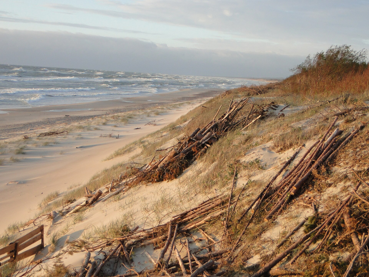
The Russian section of the Curonian Spit combines Baltic shore, lagoon-side landscapes, dunes and forest. Choose a marked visitor route such as an authorised dune viewpoint; do not climb freely over dune vegetation. It suits a short interpreted landscape outing from a named Kaliningrad-region base.
Use the park for entry, open routes and current restrictions. The spit also extends into Lithuania; a local walk is not permission to cross an international border. Sand, wind and steps can make a short viewpoint route demanding for some visitors.
Valdaysky National Park
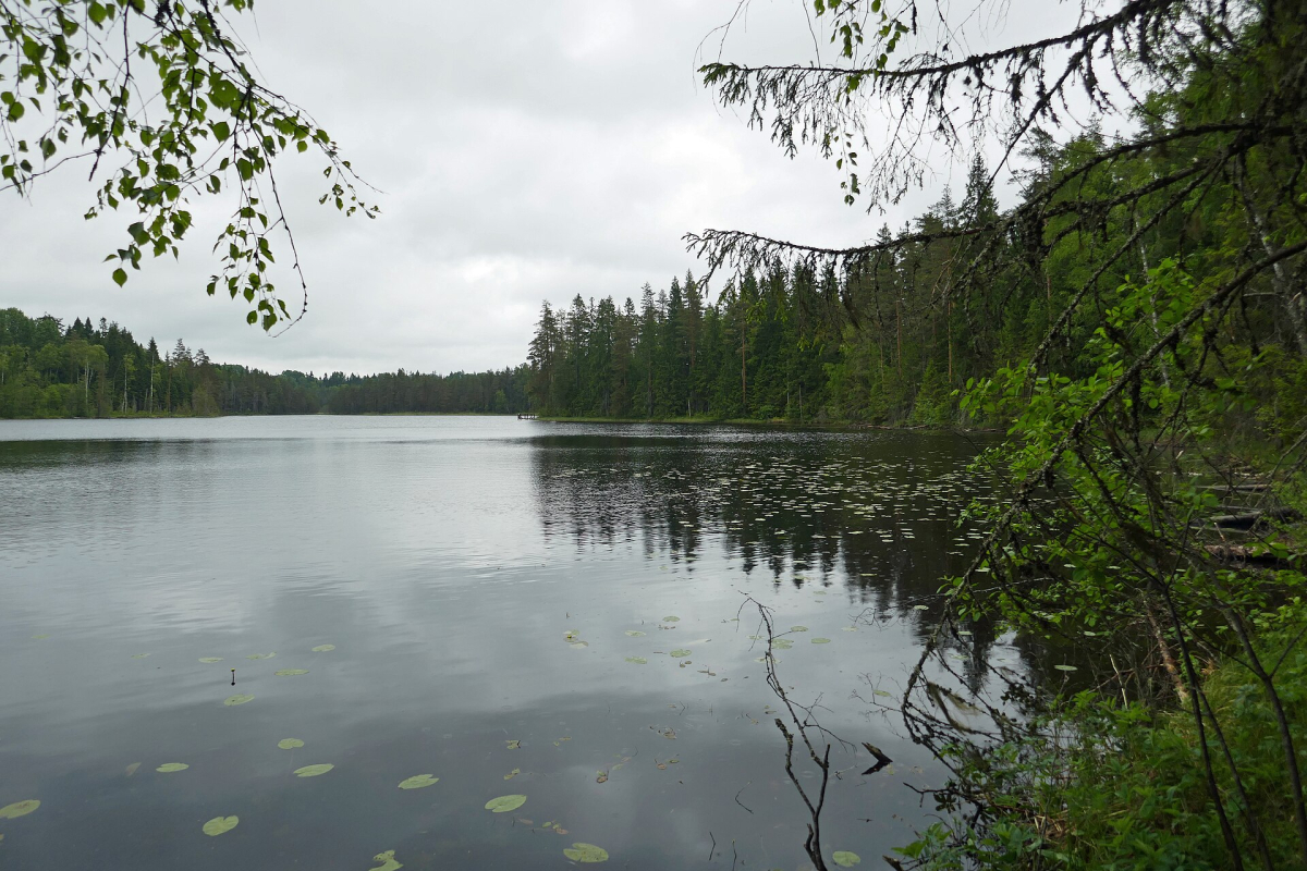
Valdaysky is a lake-and-forest landscape rather than a single summit hike. It can suit a slower stay built around a named village, lake and authorised short route. Choose the actual access point and services before deciding that a broad green area on a map is convenient.
Check Valdaysky National Park for managed sites, permits and current visitor arrangements. Water activities, shore walking and camping have different requirements. A lakeside photograph does not establish a safe swimming or public camping place.
Kenozero National Park
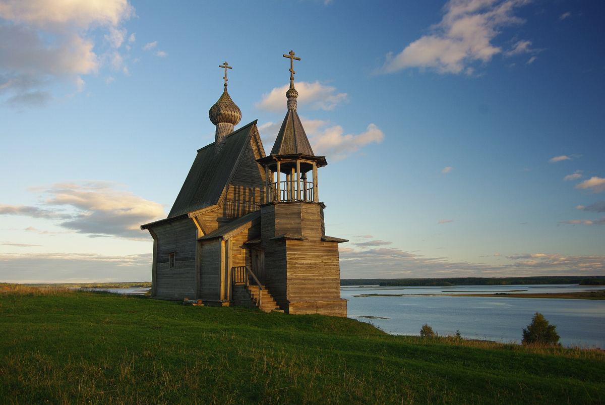
Kenozero combines northern lakes, villages and wooden religious architecture within a cultural landscape. It rewards a slower visit interested in how settlements relate to water and forest. The lake view, chapel and village path should be understood as a lived place rather than a theme-park circuit.
Use Kenozero National Park for accommodation, routes and transfer arrangements. Distances between settlements and road approaches can be substantial; do not assume a city-based day trip. Ask about surfaces, boat boarding and food before selecting a remote stay.
Paanajärvi National Park
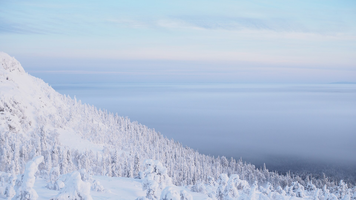
Paanajärvi’s northern lakes, forest and relief create a more remote Karelia experience than an urban Petrozavodsk stay. A visit needs a chosen route and a realistic accommodation/transport plan. Quiet scenery should not be confused with straightforward access or dependable mobile coverage.
The park is the authority for booking, permits, designated routes and current conditions. Plan food, communication and a turnaround point with the responsible operator. Weather, insects and wet ground can affect effort even on a route without a dramatic summit.
Urals
Taganay National Park
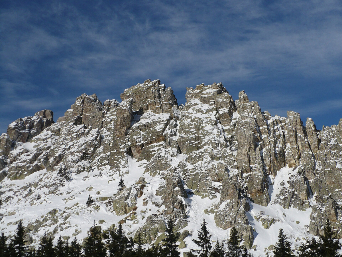
Taganay’s ridges, rock formations and forest routes make it a strong Ural walking destination for appropriately prepared visitors. The important choice is the actual trail and distance, not simply the best-known ridge photograph. A short forest outing and a long exposed ridge day are different undertakings.
Check Taganay National Park for entry arrangements, open routes, shelters and weather notices. Rock, mud, snow and exposure change difficulty. Confirm the start and return from the Zlatoust area and do not plan an ambitious walk immediately after an overnight arrival.
Zyuratkul National Park
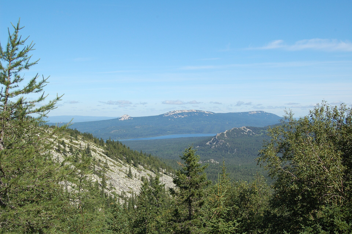
Zyuratkul combines a highland lake with wooded slopes and mountain routes. It can suit a base-led stay with an easier lake-area day and a separately chosen higher route. The two are not interchangeable, and a lakeside road arrival does not mean the mountain is an easy extension.
Use Zyuratkul National Park for current access and conservation rules. Check surface, elevation change, weather exposure and transport back to the accommodation. A boardwalk or other managed section should not be assumed open throughout the year.
Siberia & Baikal
Krasnoyarsk Stolby National Park
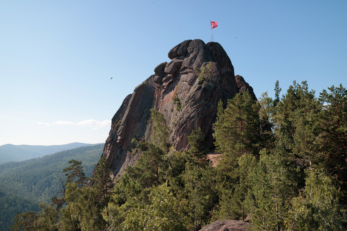
Stolby is known for granite rock formations above a large Siberian city, but visits range from managed walking approaches to much more demanding terrain. Choose an authorised walking route and view the rocks from suitable paths. Free climbing or scrambling should not be inferred as part of an ordinary visit.
The park publishes current routes and visitor restrictions. Allow for the approach before the scenic section, and turn back before fatigue compromises the return. Ice, fire controls and closures can change access even when the city below looks clear.
Pribaikalsky National Park
Pribaikalsky covers managed areas on the western Baikal side, including places whose access is often discussed as though the whole lake had one permit. It does not. Select the exact shore, route and start point, then identify whether it is within the park’s jurisdiction.
Use Zapovednoe Pribaikalye for its permits, open routes and restrictions. A village waterfront stroll, a long coastal trail and an Olkhon excursion need different preparations. Keep cliff exposure, return transport and limited communication visible in the plan.
Zabaykalsky National Park
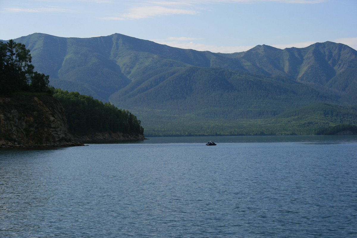
Zabaykalsky is on the eastern side of the Baikal region, with peninsula, bay and mountain landscapes that require their own approach. It should not be treated as an excursion automatically included with an Irkutsk or Listvyanka stay. Choose a shore base and a defined authorised route.
The Zapovednoe Podlemorye authority is the starting point for its managed areas. Ask about permits, road and boat access, current fire restrictions and the actual effort involved. Do not use a bay photograph to promise a warm-water swimming day.
Altai & Far East
Lake Teletskoye and Altai protected landscapes
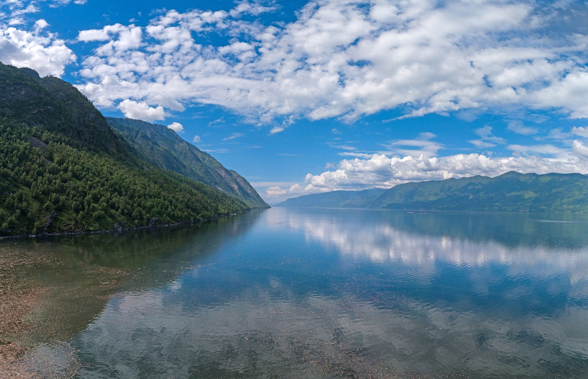
Lake Teletskoye and the protected Altai landscapes offer a lake-and-mountain context different from the Katun road corridor. Some visits depend on boats or specific managed routes; a general Altai itinerary does not establish access to a reserve. Select the actual place and operator first.
Use the Altai Biosphere Reserve for its own visitor arrangements and UNESCO for the heritage geography. Weather and transfer time can determine whether a water-based outing operates. Wildlife and shoreline access are not guaranteed.
Land of the Leopard National Park
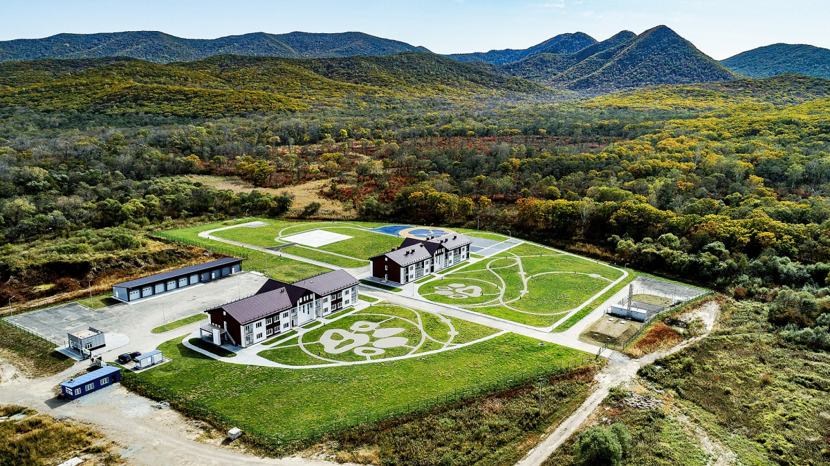
This Primorye protected landscape is important for conservation of the Amur leopard and its habitat. A visitor route or interpretation visit is different from a promise to see a wild cat. Choose a managed activity for learning about the ecosystem rather than seeking an unregulated wildlife encounter.
Use the Land of the Leopard authority for authorised visitor options and restrictions. Stay on the permitted route, keep distance from wildlife and follow guide instructions. Feeding, baiting or following animals is not a responsible substitute for an uncertain sighting.
Kronotsky protected areas, Kamchatka
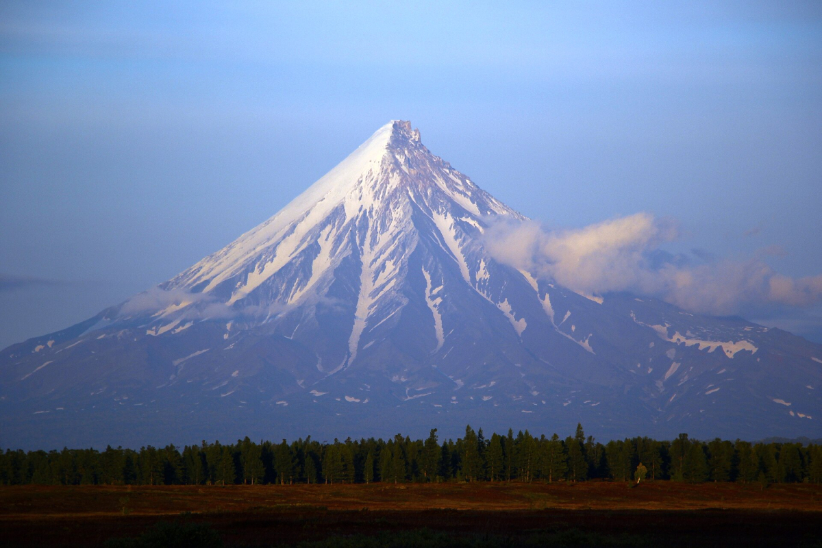
Kronotsky is a nature-reserve context, not an ordinary unrestricted national-park hike. Volcanic and geothermal landscapes can involve specialist transport, authorised guides, quotas and very changeable conditions. It belongs to a dedicated Kamchatka trip with substantial flexibility.
The Kronotsky Reserve is the source for its actual visitor rules and operating areas. Do not assume that a previous-year tour still runs, that a photograph identifies a legal landing or that a reserve permit covers the whole peninsula. Emergency support and insurance must match the activity.
Five urban or heritage walking alternatives
In Moscow, choose a short public-street route around one museum district rather than a walk that repeatedly crosses major roads. In Saint Petersburg, one embankment and adjacent canal area can be enough; verify the actual river crossing and avoid an exposed late return. In Kazan, Bauman Street and a selected kremlin approach offer different surfaces and gradients, so plan a seated break between them.
In Suzdal, choose a small Kamenka-side and historic-street circuit, allowing for grass, uneven paths and seasonal mud. In Yaroslavl, the upper Volga embankment can be a more manageable choice than descending every staircase. These are route concepts: check the actual open public section, weather and surfaces, and turn back when conditions change.
Permits, conservation and responsible access
Identify the authority for the exact place. A national park, strict reserve, border area and ordinary municipal park can have different rules. A hotel reservation or commercial excursion description is not a substitute for required permission. Ask the authority about the date, route, entry points, registration and any current fire or seasonal closure.
Keep to marked authorised paths; dune plants, thin soils and lake shores can be damaged long before a visitor notices. Pack out waste, keep food secure and observe wildlife without feeding or approaching it. Fire, fishing, camping and drone use need their own permission checks. The same rule cannot be copied from one protected area to another.
Effort, children and mobility needs
Ask about distance, elevation, steps, loose rock, sand, mud, stream crossings and exposed edges. “Short” does not mean easy, and a scenic image does not establish step-free access. Choose a real turnaround and a shorter alternative before starting. Carry the clothing, water, food and communications appropriate to the route and conditions.
For children, choose an interpreted short route with toilets and a place to rest where possible; do not make a difficult return the only way home. For mobility needs, request the complete drop-off-to-viewpoint route and current condition of any boardwalk or ramp. A boardwalk can still have entry steps, damaged sections or seasonal closure.
Weather, water and the return
Check conditions for the whole outing, including the return journey and the next day if transport is weather-sensitive. Cold water, river current, cliff exposure and winter ice are separate hazards from ordinary trail walking. Do not cross lake ice on the strength of a photograph or another visitor’s tracks.
Leave time to get back before fatigue or darkness removes options. Save the destination, route and relevant contact information offline; a remote landscape may have no reliable mobile signal. Use a competent authorised operator where the terrain and access require one. See Car Rental for the difference between reaching a trailhead and being permitted to drive on a route.